Completed Restoration Projects
2024
2023
- March (spring break) invasive removal with 11 volunteers (Reach 3)
2023
- February - March planting and invasive removal with 12 volunteers (Reach 2)
- April 17 École Hammond Bay grade 7 work party with 4 adult volunteers and 12 students (Reach 2)
- July - August clean up fallen tree, invasive removal with 8 volunteers (Reach 2)
- October/November steep slope stabilization project #3 with 14 volunteers (Reach 2)
- habitat assessment (mapping and measuring pools along Walley Creek) with VIU Fisheries students
- June - École Hammond Bay grade 7 work party with 12 volunteers (Reach 2)
- August - *first BIG in-stream restoration project (Reach 2)
- November - riparian planting (Reach 2)
- March - June - invasive plant species removal with 5 volunteers (Reach 2)
- August - storm drain mapping (Reach 3)
- August/September - in-stream restoration project (Reach 2)
- October/November - riparian restoration project, steep slope #2 (Reach 2)
- May 29 - invasive plant species removal with 5 volunteers (Reach 2)
- July 31 wetland enhancement (aka Salamander Meadow)
- August 13 - invertebrate survey
- September 12 - in-stream restoration with 8 volunteers (Reach 2)
- November - riparian planting (with cages to protect from deer browsing) adjacent to upstream side of Morningside culvert (Reach 2)
- March 23 - steep slope stabilization project #1 (Reach 2)
- March 30 - riparian planting (Reach 2)
- April 29 - École Hammond Bay grade 7 legacy project, invasive species removal with 8 adult volunteers and 24 students (Reach 2)
- November 9 - riparian planting (Reach 2) with support from City of Nanaimo staff and volunteers from Dover Bay high school eco-club, Departure Creek Streamkeepers, and the Nanaimo & Area Land Trust
- May 28 - École Hammond Bay grade 7 graduation project, invasive species removal with 14 volunteers and 28 students (Reach 2)
- November 10 - Morningside Park Riparian Enhancement Project (Reach 2), added large woody debris (logs and stumps) with support from Dave Clough, City of Nanaimo and Milner Trucking, and 15 adult volunteers and 20 young people (Nature Kids Nanaimo members)
- November 24 - 5 volunteers used shovels and wheelbarrows to move topsoil and mulch around burms and LWD to prepare for tree planting (Reach 2)
- December 8 - 3 volunteers planted Douglas fir plugs around burms and large woody debris (LWD) (Reach 2)
- March 6 - École Hammond Bay grade 7 graduation project, invasive species removal with 15 volunteers and 30 students (Reach 2)
- August 14 - stream cleanup/garbage removal (Reach 2) with 11 volunteers
- November 18 - Hammond Bay Beach to Morningside Drive (Reach 1) - planted 150 native plants in riparian area with 25 volunteers and 7 Dover Bay Eco-club members
- November 12 - Hammond Bay beach to Morningside Drive (Reach 1) - planted 150 plants in riparian area with 6 volunteers and 6 Dover Bay Eco-club members
Capacity Building
- Streamkeepers Workshop, presented by Dave Clough, sponsored by the Nanaimo & Area Land Trust (April 2017)
- Riparian Restoration Workshop, presented by Dave Polster, hosted by WCVI Aquatic and DFO (March 2018)
- Wetlandkeepers Workshop, presented by BC Wildlife Federation, supported by City of Nanaimo (May 2018)
- Wetlandkeepers Workshop, sponsored by the Nanaimo & Area Land Trust (June 2021)
Urban Salmon Habitat Protocol (USHP) Survey
- summer 2016 - beach to McGuffie Drive (Reaches 1, 2 and 3)
- summer 2017 - McGuffie to Entwhistle (Reaches 4 - 6)
- summer 2022 VIU fisheries students collected updated USHP data with the goal of publishing a report and recommendations.
Water Quality Monitoring
- Regional District of Nanaimo (RDN) Community Watershed Monitoring Network (CWMN) - water quality monitoring at three sites along Wally Creek for dissolved oxygen (DO), specific conductivity (SpC) and turbidity. Summer (low flow) and Fall (flush) Aug/Sept and Oct/Nov 2016 - present. In 2019 added lab analysis of water quality for QA/QC and chlorides (2019 results).
- Description of the CWMN program and our monitoring sites.
- DFO - ongoing monitoring of pH and dissolved oxygen (DO)
Flow Monitoring
started August 2019, ongoing
Supported by the Province (Ministry of Forests, Lands and Natural Resources, Water Protection Branch), and the BC Conservation Foundation (BCCF)
Description of flow monitoring on Walley Creek.
Supported by the Province (Ministry of Forests, Lands and Natural Resources, Water Protection Branch), and the BC Conservation Foundation (BCCF)
Description of flow monitoring on Walley Creek.
Smolt Trapping
October 2021
Outreach and Education
City of Nanaimo Rivers Day event, Bowen park - annual event, September (discontinued 2020)
School Education
School Education
- Spring 2017, 2018, 2019 - annual presentation to École Hammond Bay students before invasive species removal work party
- March 2017 - visit to Montessori school on Jinglepot Road about streamkeeping and riparian restoration
- September 2017 - NatureKids Junior Streamkeepers course with Dave Clough
- November 2020 - Morningside Park tree planting with Nanaimo Science and Sustainability Society
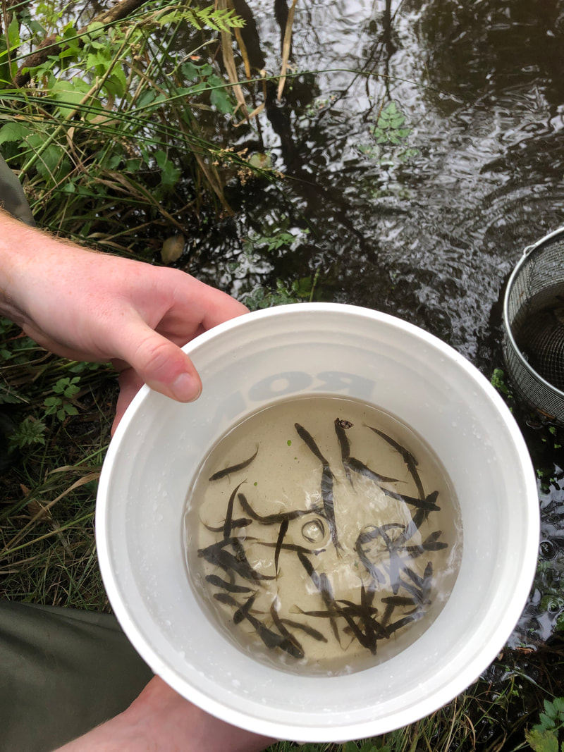
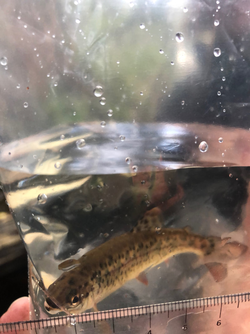
- February - June 2021 Salamander monitoring, with École Hammond Bay grade 5 class
Wildlife Camera
September - November 2017
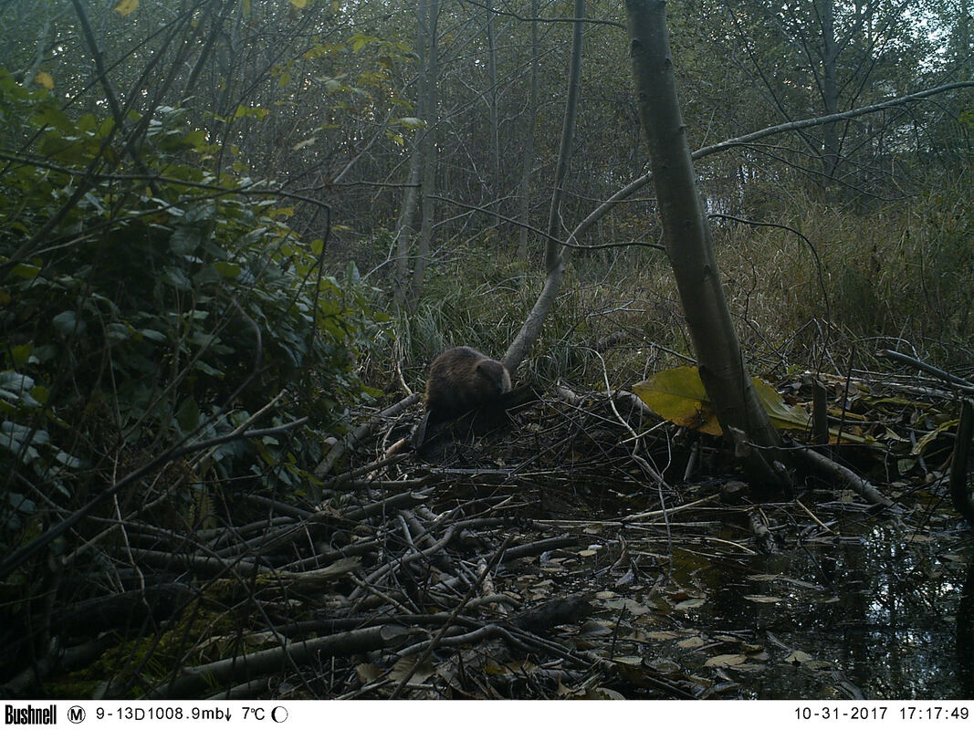
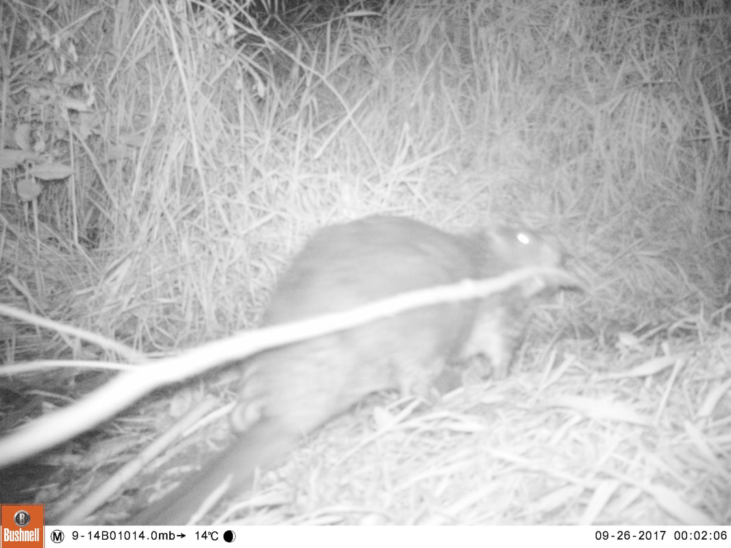
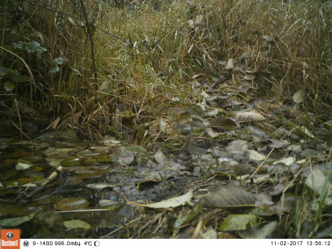
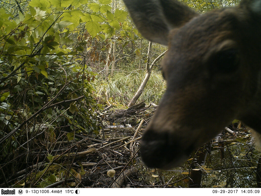
With consultation from biologist Elke Wind, we set up wildlife cameras behind Piper's Pub (Reach 4) to see how animals are using the area.
With consultation from biologist Elke Wind, we set up wildlife cameras behind Piper's Pub (Reach 4) to see how animals are using the area.
Future Opportunities
Prevent Illegal Dumping
Continue to Enhance Salmon Habitat
- remove invasives
- plant native plants for shade, biodiversity, and slope stability
- add large, woody debris (LWD) to increase riparian complexity and improve habitat
- add gravel and boulders to improve spawning habitat
Continued School Engagement (École Hammond Bay and Frank Ney Elementary)
- riparian planting
- invasive plant removal
- fish monitoring
- water quality monitoring
- removal of log jams (this can only occur during the in-stream permitted work window from Aug 15 – Sept 15)
- benthic invertebrate sampling
- continued salamander habitat monitoring and enhancement
- teaching/learning basics of stream health
Protect Riparian Corridor and Wetlands
Wetlandkeepers
Wetlandkeepers
Letter asking for Mayor and Council to protect the ecologically sensitive area behind Piper's Pub (February 2023)
| walley_creek_streamkeepers_letter_feb_2023__1_.pdf |
Maintain Base Flows and Prevent Flash Flooding
Flow Monitoring
Community Flow Monitoring Network, Vancouver Island pilot program
(BCCF and Ministry of Water, Land & Resource Stewardship)
Flow Monitoring
Community Flow Monitoring Network, Vancouver Island pilot program
(BCCF and Ministry of Water, Land & Resource Stewardship)
Key Recommendations from the RDN CWMN Data Analysis (2011 - 2020) report
- Ecoscape Environmental (report authors) recommend establishing a long-term benthic monitoring program to further evaluate changes in creeks over time. Benthic sampling must occur in riffle habitat, but otherwise site selection should overlap CWMN sites, so that both datasets can be utilized. RDN should prioritize creeks for the benthic monitoring program considering key creeks that flow through a variety of land uses (e.g., agricultural, industrial, residential), the inclusion of sampling locations that are located near areas of proposed growth, as well as considerations of CWMN sites that have been identified as Sites of Concern. The City of Surrey has undertaken this type of program since the 1980s, and it has been informative to evaluate the effects of land use changes on stream health (Plewes and Olson-Russello, 2020). Their program integrates a Benthic Index of Biological Integrity (B-IBI) as a measure of biological condition. This index has been calibrated for northwestern coastal areas (e.g., Seattle and Vancouver) and it is sensitive to changes in human disturbances, but has limited inter-annual variability (Page et al., 2008).
- Targeted public education could be offered for areas where stormwater impacts are probable. This could involve an info mailer, adding a stenciled fish symbol to stormwater grates that report to fish-bearing streams, incentives for rain gardens, etc.
- Perform an analysis of where rain gardens would provide the greatest benefit to reduce the amount of stormwater from impervious surfaces such as roofs and parking lots. Rain gardens are an easy way to reduce the stormwater inputs to surrounding waterbodies and provide an aesthetically appealing garden that helps conserve water. Rain gardens at the municipal scale can include swales. Swales can gather and slow the infiltration of stormwater to the surrounding area. Additionally, swales can be used to direct water to rain gardens or other gardens. Rain gardens at commercial and industrial properties are also viable and can be used to adsorb or redirect runoff from large parking lots.
- Support physical assessments and stream mapping, to expand upon existing Fisheries and Oceans Canada Sensitive Habitat Inventory and Mapping (SHIM), to determine and document locations of erosion, point sources of contamination (i.e., outfalls) and priority restoration sites. This mapping is also useful for determining the quantity and quality of fish habitat and it provides a useful tool for effective long-term adaptive management. Streams should be prioritized for this mapping based on the highest level of surrounding disturbance/land uses and value of the watercourses as fish habitat.
- The provincial Riparian Areas Protection Regulation (RAPR) applies to industrial and residential development on properties within 30 m of a watercourse. Development applications via RAPR can present opportunities for riparian restoration. RDN should work with the Province to understand where riparian restoration works are occurring/proposed and how that restoration may be reflected in future CWMN sampling.
