|
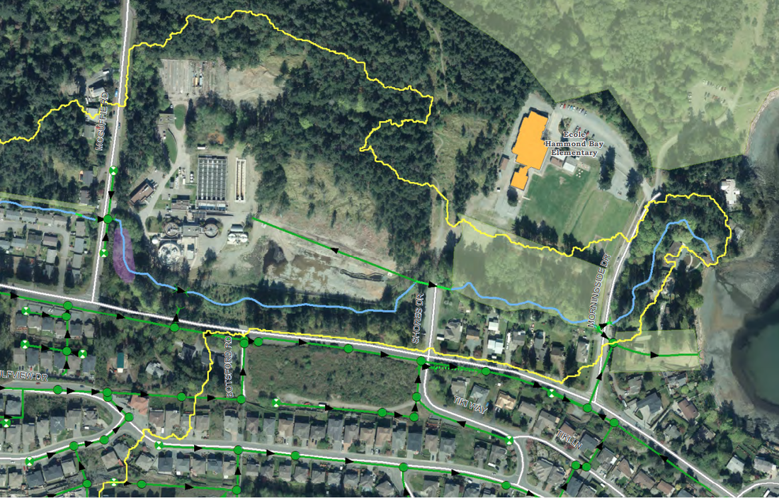
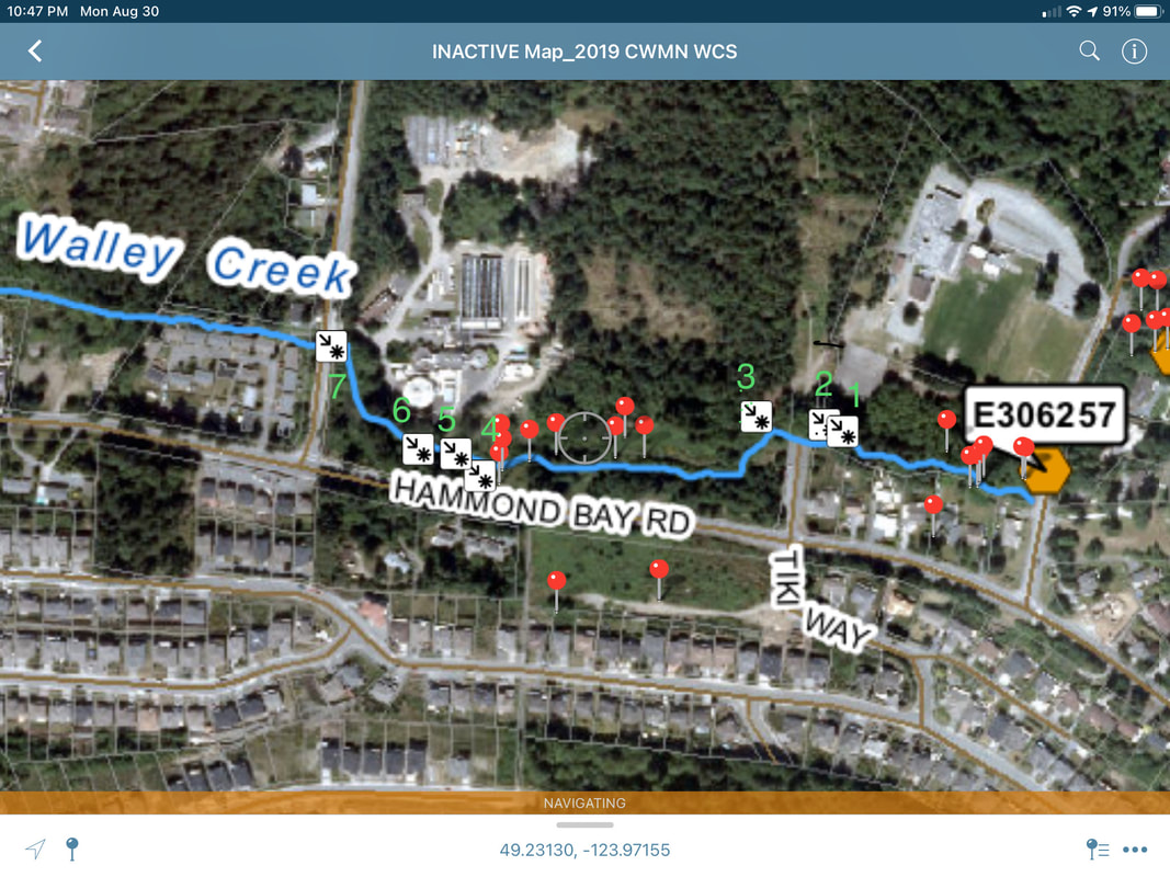
While Walley Creek is open to the surface along its whole length, it is fed by storm drain inputs from the developed areas of the watershed, as well as groundwater seepage. To see a map of the storm drains in the Walley Creek Watershed, visit the interactive Nanaimo map - http://maps.nanaimo.ca/nanaimomap/. Click on Themes and choose Utilities. On the left side, check the box that says Storm. (The photo below is an example.) You can also turn on the air photos, and select different attributes that you want to see as you zoom in. 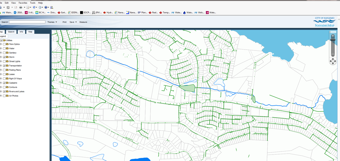 Since 2019 our group has been dismayed see the creek go dry in the lower reaches (Shores Drive to the ocean) during the summer. We are desperately trying to sleuth out why this is happening, since we know it's fatal for the fish and invertebrates that depend on the creek being wet. In August and September 2019 and 2021, creek water has been present only in isolated pools in Reaches 1 and 2, if at all. There is one pipe just south of Shores Drive that we found during our (2016/2017) stream assessment that isn't on the City utilities map. Water used to trickle out of it that we assumed was groundwater because it was so cold (<12 degrees C). In fall 2018 we walked that area to plan for some restoration work and noticed it's not providing water to the creek anymore. We're wondering if that has something to do with why the creek is dry. In August 2021 we decided to walk the creek again from Morningside Park north, mapping storm drain inputs.
1 Comment
10/13/2022 06:13:00 am
Storm drainage plays an essential role by swiftly getting rid of water before it accumulates on roads and causes flooding. Storm drains function primarily through the means of gravity by pulling rain water into underground pipes. Leave a Reply. |
Categories
All
Archives
March 2024
|
||||
 RSS Feed
