|
Map of Monitoring Sites
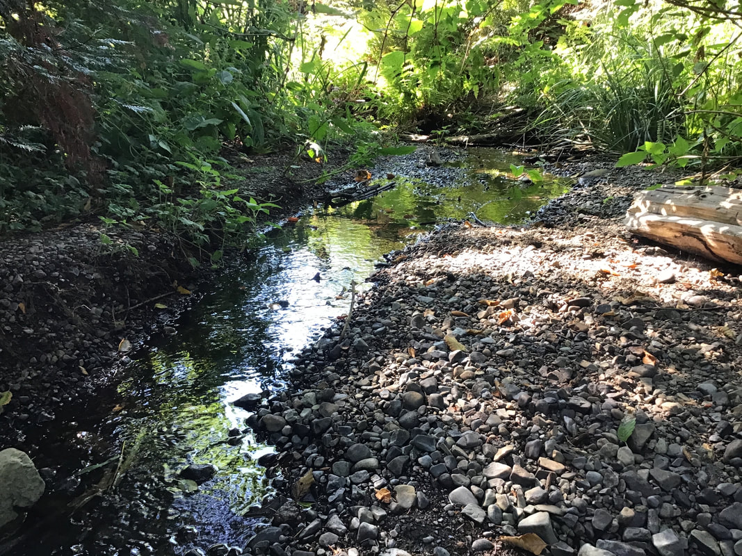
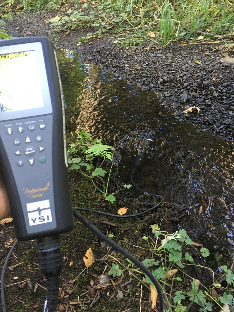
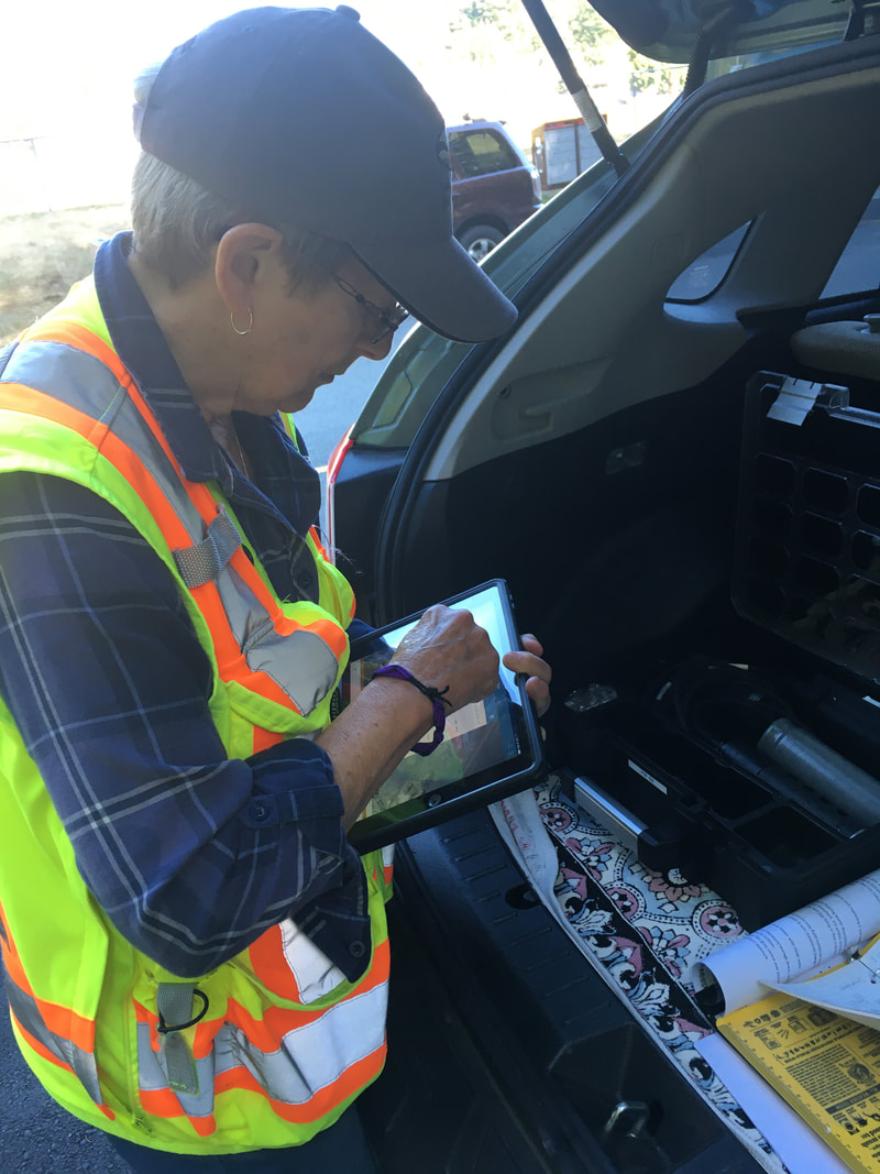
2020 Results SummaryOn June 4 the Regional District of Nanaimo (RDN) Drinking Water & Watershed Protection Program (DWWP) released the 2020 report summarizing data collected by Streamkeepers groups through their Community Watershed Monitoring Program. This was the Walley Creek Streamkeeper's fifth year participating in this program! We use the data to better understand anthropogenic affects on the water quality, and to guide restoration efforts. We look at the results to see where the water quality readings are exceeding standard guidelines for temperature, dissolved oxygen, specific conductance, and turbidity. Temperature Walley Creek had the potential to exceed the aquatic life guideline (17 degrees Celsius) in the summer of 2019 and 2020. This parameter is influenced by air temperature, upstream influence and physical stream attributes, however, it was noted that summer 2020 was wetter and cooler than previous years (see pg. 24 of the report). The report suggested restoration efforts to mediate the effects of high temperature include: groundwater conservation and riparian enhancement and restoration. Dissolved Oxygen (DO) The guidelines state that the average dissolved oxygen should be above 8 mg/L, and should not drop below 5 mg/L (instantaneous minimum). Dissolved oxygen is influenced by several factors, but low DO is commensurate with high temperatures. Walley Creek was below the average in the 2020 summer monitoring period, and at Morningside Park dropped below the instantaneous minimum for the first time since we began monitoring (pg. 33). *Check 2016 and 2017 reports to make sure this is true; the report states that it was above 5 mg/L in 2018, and 2019. This was most likely due to low flow. Specific Conductivity (SpC) Walley Creek is typically well above the guideline of 80 microsiemens(uS)/mL of SpC, the measure of dissolved ions in the water. We believe this to be due to significant groundwater influence, as well as road runoff from the many storm drains that feed Walley Creek from adjacent residential areas. The report states that Walley Creek was above 130 uS/cm on all 10 sampling dates (pg. 49). I don't see our data values on the graph, so I'll inquire whether there was a big difference between our summer and fall readings. We are curious whether mitigating/absorbing road runoff would bring the SpC down, and if this would be a worthwhile activity to improve the overall water quality of Walley Creek. Turbidity Measurement of suspended particles in the water exceeded parameters three times in the summer (pg. 57) and twice in the fall (pg. 58). The fall turbidity readings correlate with significant rain events October 13 (67.3 mm) and November 3 (46.2 mm). The report states that increased turbidity can increase temperature (pg. 51), and thereby lower dissolved oxygen. High summer turbidity can be a result of contaminants, storm water, and erosion. All of these are potentially true in Walley Creek. 2011 - 2020 Data Analysis ReportTEMPERATURE 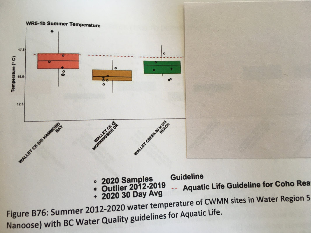 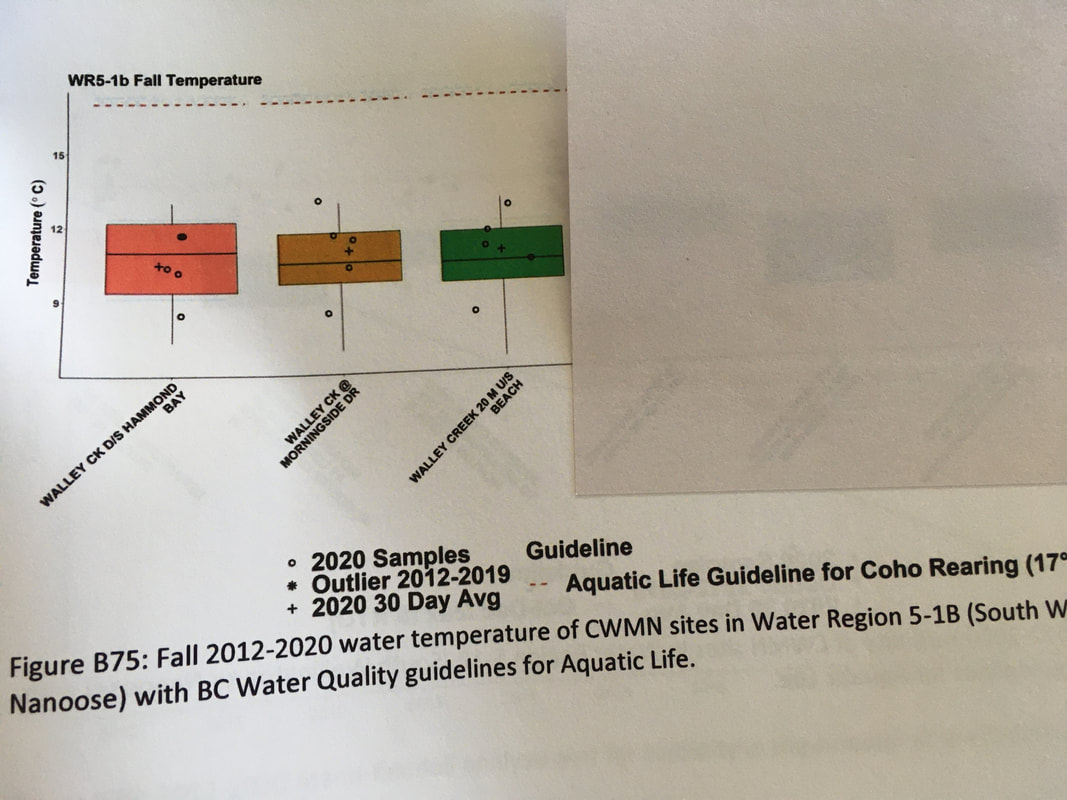 DISSOLVED OXYGEN 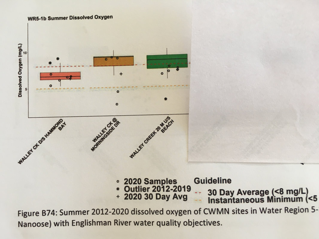 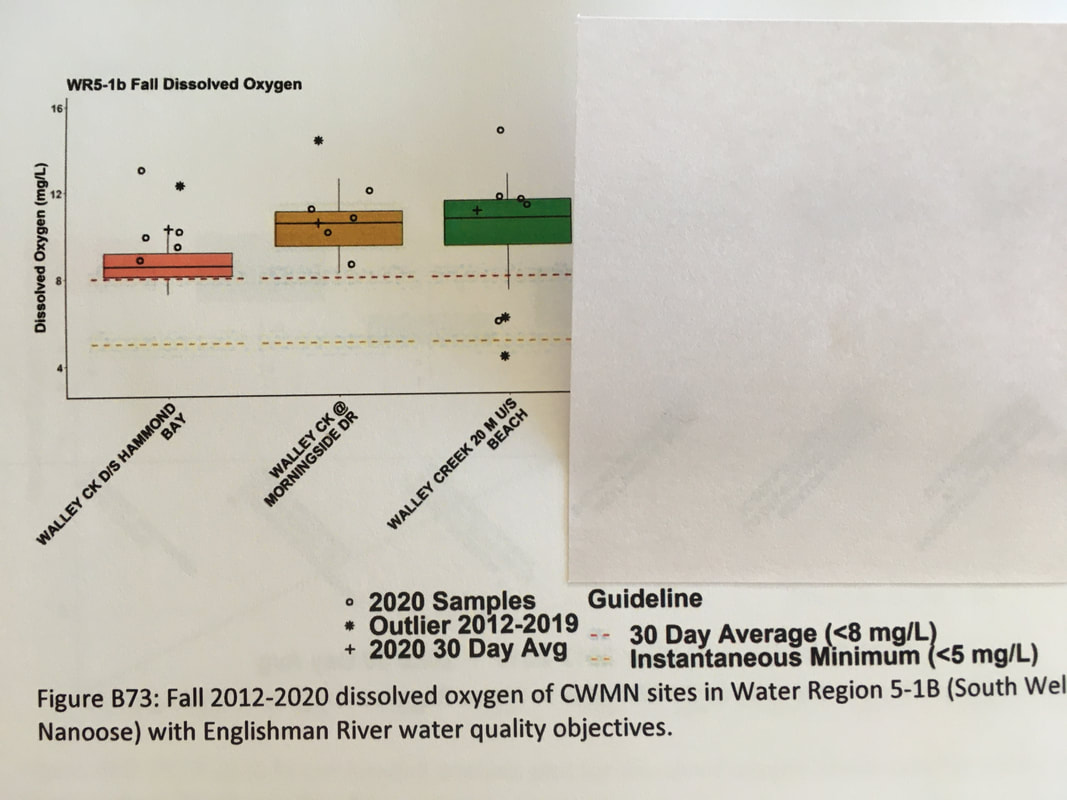 CONDUCTIVITY 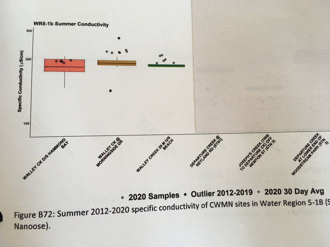 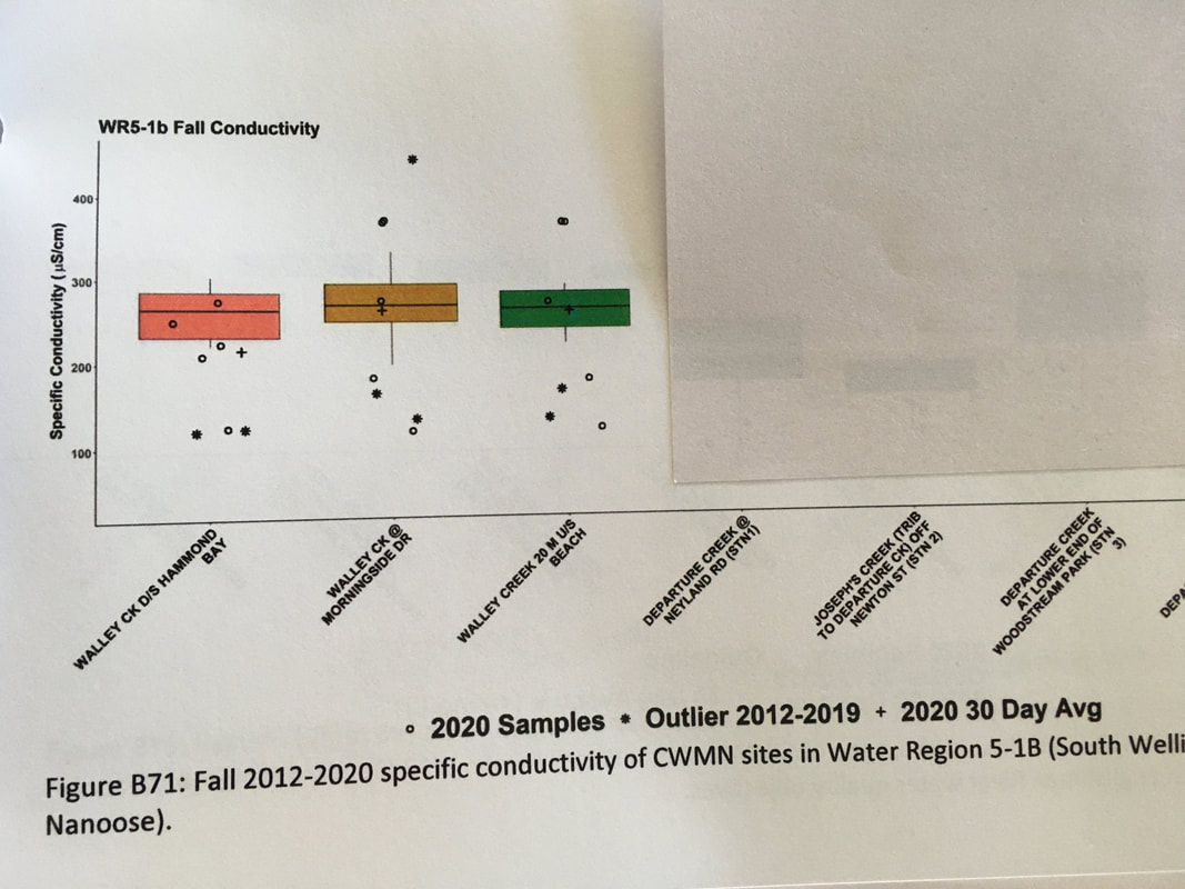 RECOMMENDATIONS: 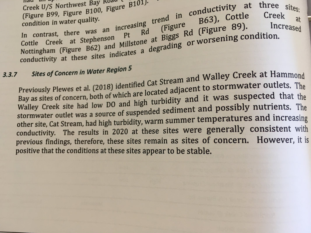 Broader Recommendations, pages 28 - 30 of Community Watershed Monitoring Network Data Analysis (2011 - 2020) prepared by Ecoscape Environmental Consultants Ltd. 2021
Several of these recommendations were provided by Plewes et al. (2018) (2011 - 2017 CWMN trend report), but are included again, as they remain relevant and are important to properly document water quality conditions and to ensure watershed health.
0 Comments
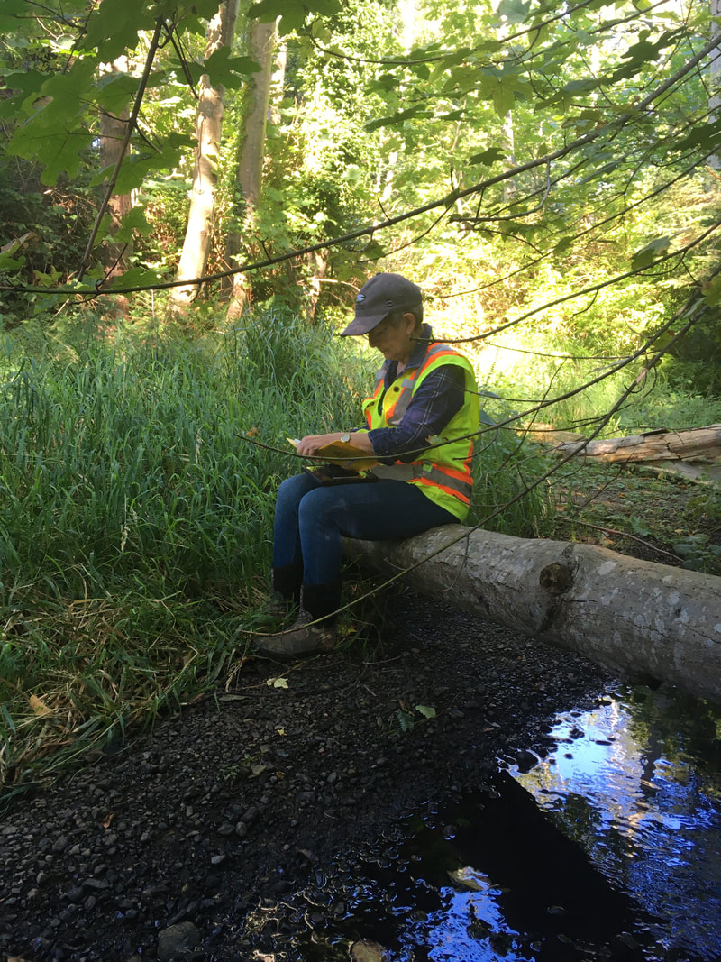
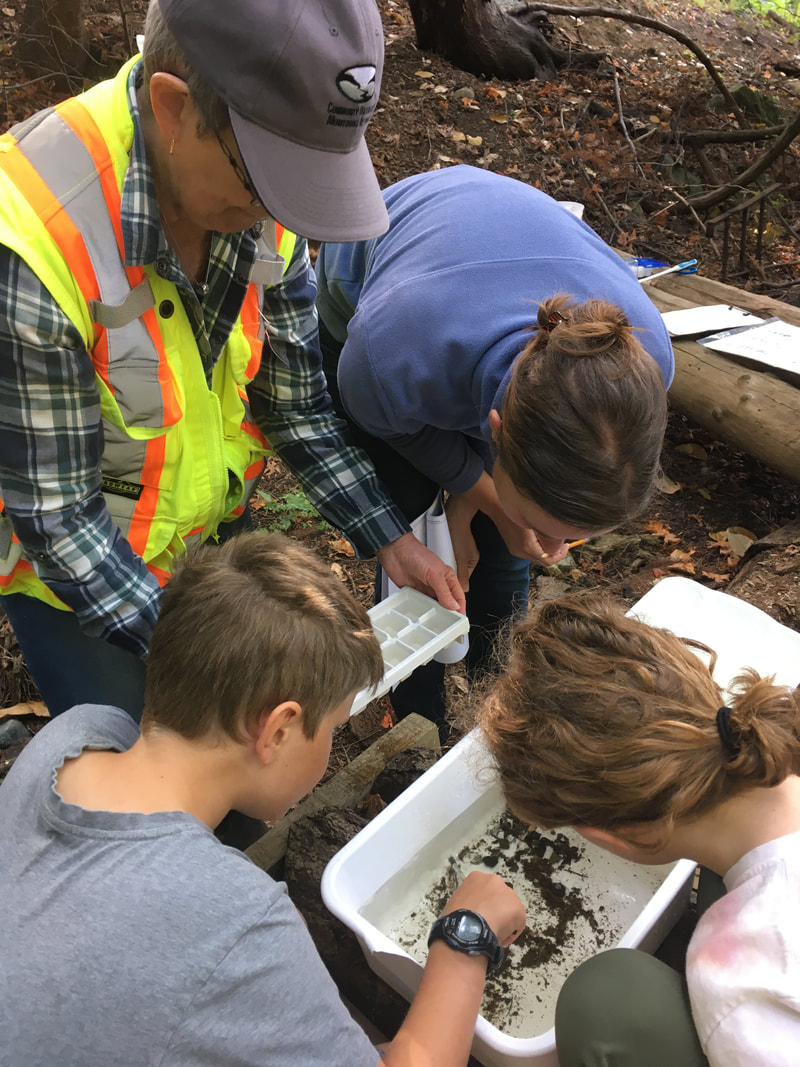
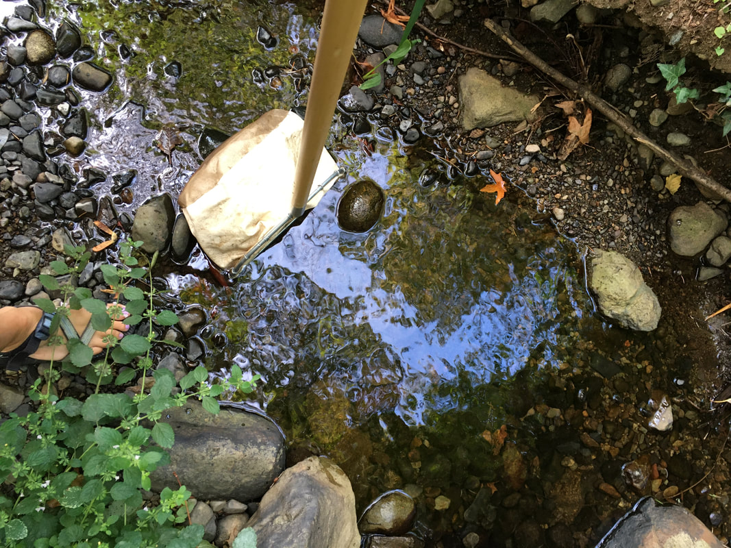
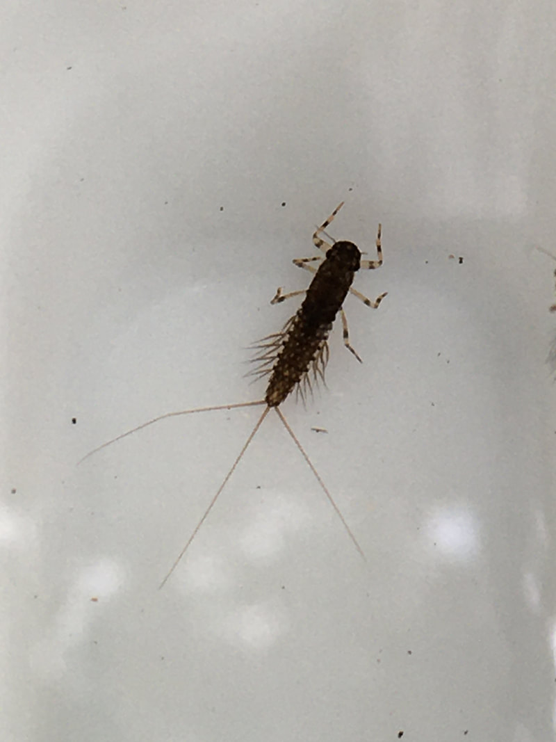
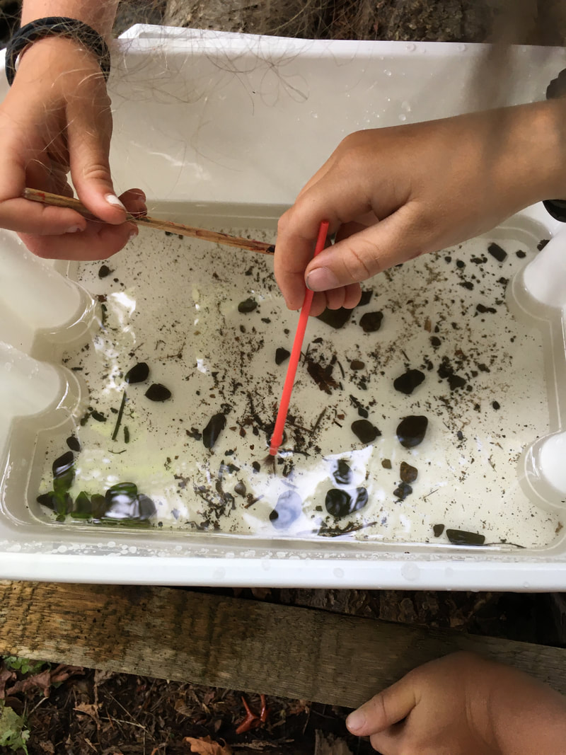
Today we did an invertebrate study at our lowest monitoring site on Walley Creek. We haven't sampled for inverts since a Junior Streamkeepers Day with Dave Clough in 2017, but we read over Module 4 of the Streamkeepers manual and even checked out the Pacific Streamkeepers Federation YouTube page to get ready.
We sampled three times and found many mayfly and stonefly larvae, which are both intolerant to pollution. So, the presence of these fragile organisms in the creek means the water is clean and clear, with sufficient oxygen for aquatic life. It was exciting to find these important little insects!
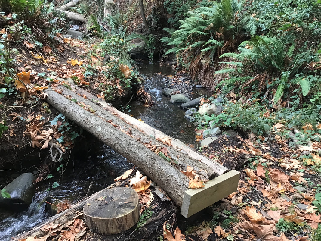
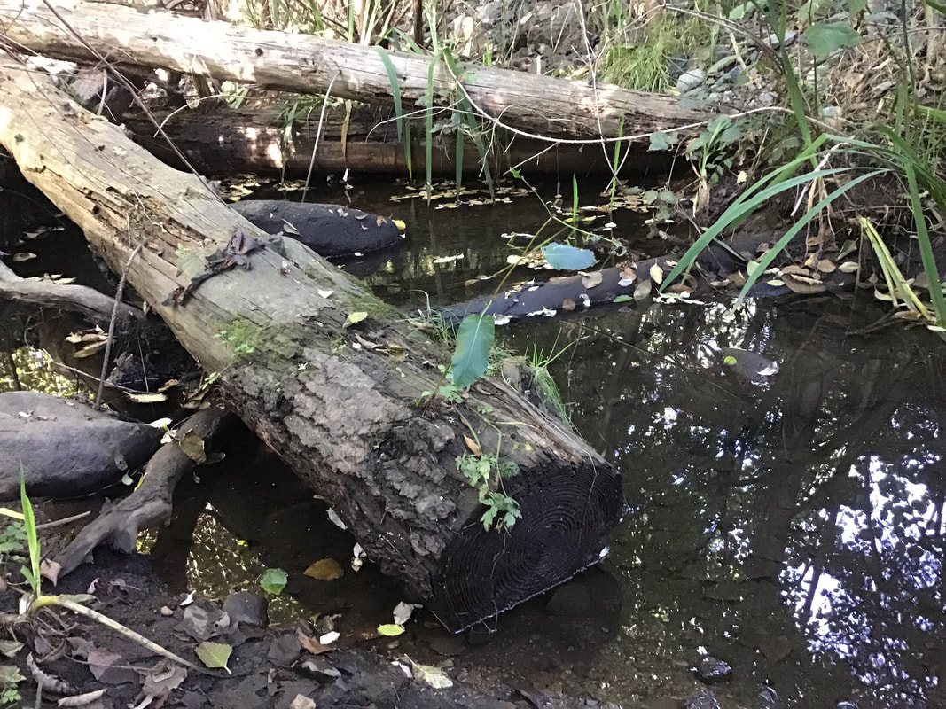
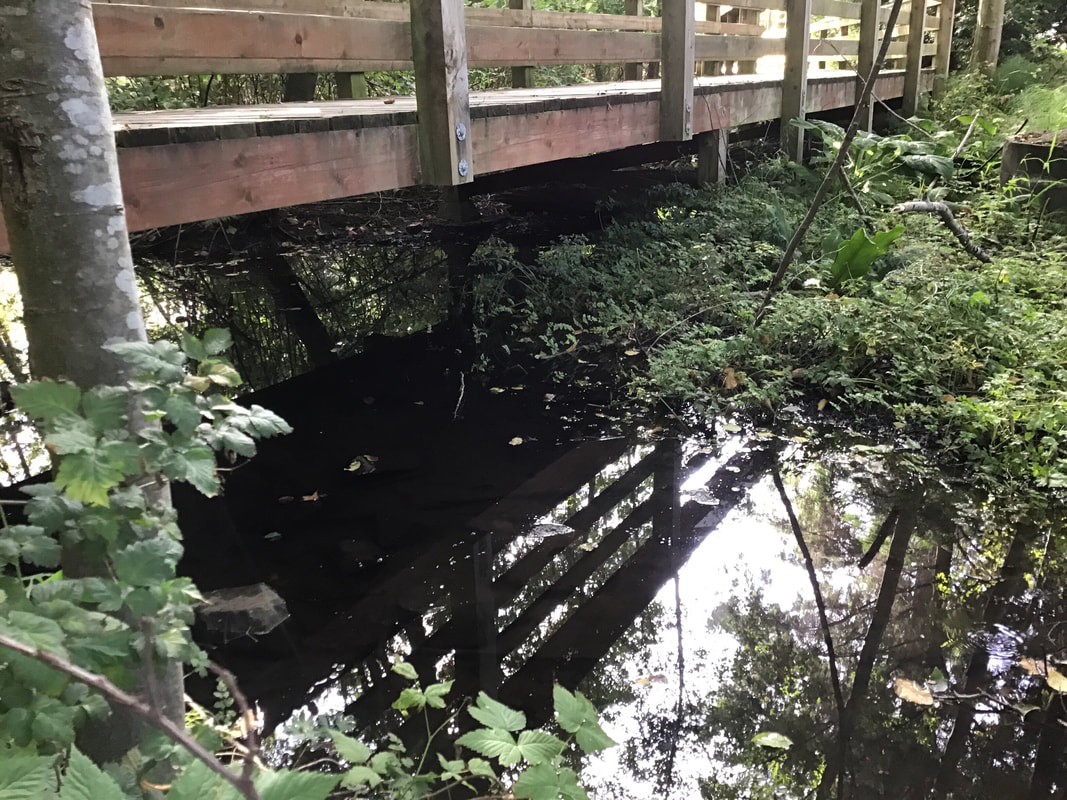
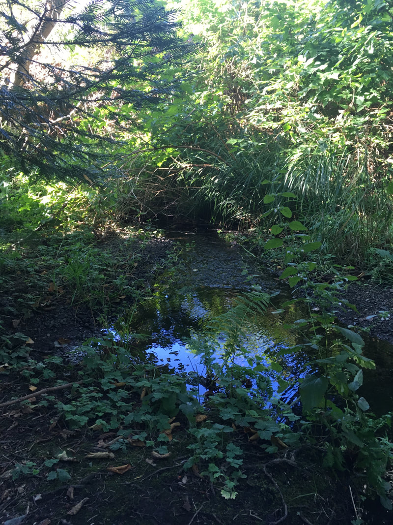
If you have visited Neck Point Park in Nanaimo you have passed over Walley Creek where it flows into Hammond Bay. This section of the creek, upstream of Morningside Drive, flows between private properties and a piece of City of Nanaimo park land. The park is enjoyed by students from École Hammond Bay Elementary School and children from the surrounding neighbourhood. It has a small wetland with potential habitat for salamanders, frogs, and all sorts of mammals and birds. Illegal dumping of yard waste and garbage over the years has done serious damage to a steep slope on the north side, eroding the bank and degrading the riparian zone. It is the location of one of our RDN CWMN water quality monitoring sites, and an area where we have worked hard removing garbage and invasive species in the past two years, with help from Grade 7 École Hammond Bay students. Dave and Brad added logs and stumps. Nina secured delivery of soil and bark mulch. Linda and Nina coordinated volunteers (neighbors, Dover Bay eco-club, family members, and Nature Kids) 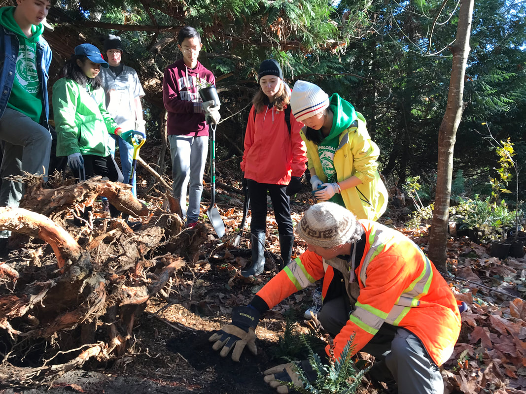 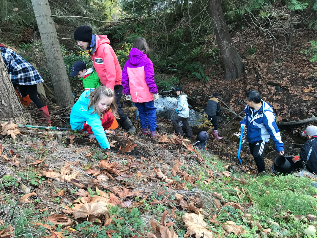 In May 2016, NALT offered a Streamkeepers workshop on Departure Creek. Nina was able to attend the two full days of training, and became an official Streamkeeper! As a group we decided it was time to visit Gail Adrienne, NALT's Executive Director, to thank her for connecting us, and to ask her advice about what to do next. She suggested working with Dave Clough to plan for riparian planting. This would help establish shade and prevent erosion of the banks of the creek.
Gail also had great information about the history of Walley Creek. She said it is one of the last creeks in Nanaimo that is open to daylight along its whole length, and that it is known for having year round flow. She knew that the Georgia Basin Ecological Assessment and Restoration Society (GBEARS) did a small project to restore a culvert along Walley Creek many years ago. She suggested we do as much research as possible into the history of the area so we would know what to realistically aim for in terms of restoration. She alluded to many (ahem) interesting diversions of the creek by people who live beside it, especially in the strata neighborhood at McGuffie and Hammond Bay Roads. Finally Gail suggested we officially become the Walley Creek Streamkeepers, as a committee under NALT. This solved our dilemma about how formal our group should be and how to apply for grants for the work we want to do. It's official - we are the Walley Creek Streamkepers! |
Categories
All
Archives
March 2024
|
||||||||||||||
 RSS Feed
