|
As we reflect on 7 (!) years of restoration work in Walley Creek,
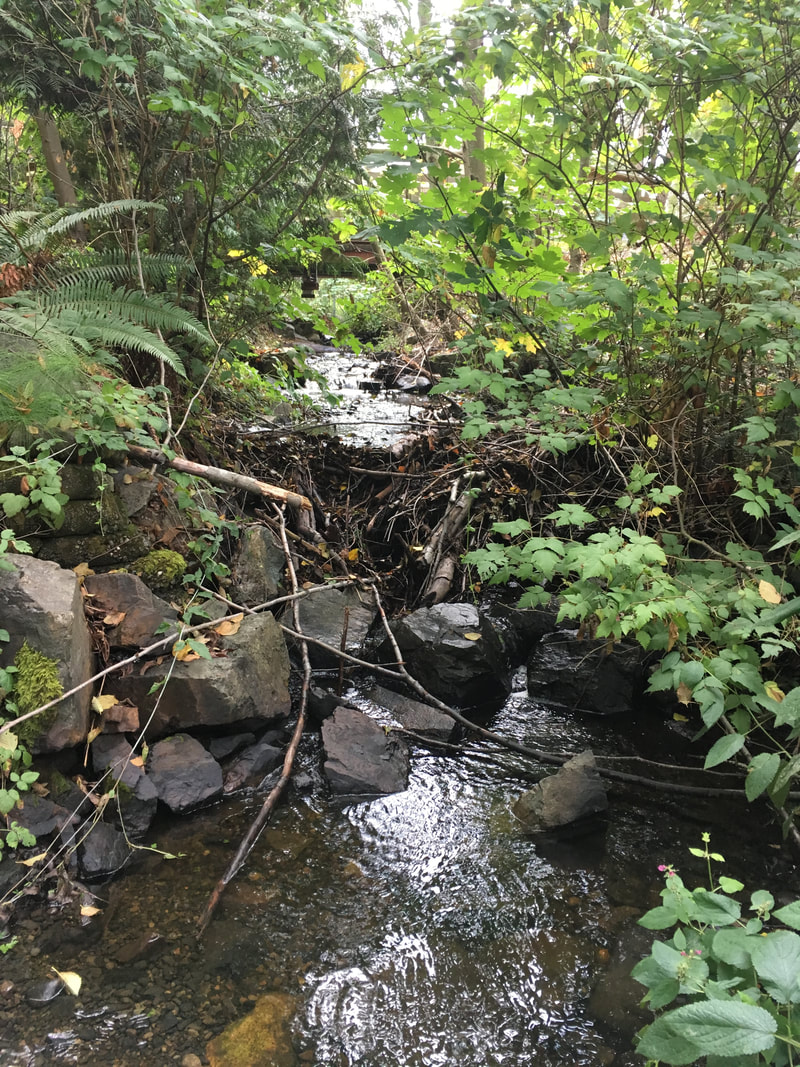
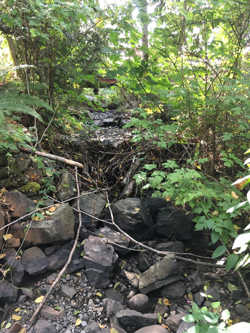
we are looking at priorities for the year ahead. When we began to work on restoration, our primary goal was to understand the creek, its past and current threats and places where it's thriving, and how humans can live more gently with this beautiful watercourse, and even enhance its health and ecological function. Much of our efforts have been focused on salmon, since they are such an important keystone species and receive the bulk of funding and expertise in the stream restoration world. However, we know that Walley Creek may never support a large population of Coho, and setting that as a goal may be ignoring the overall wetland and swamp characteristics of this watershed. We do know that Walley Creek supported resident cutthroat trout, from surveys done as part of the 1994 Fish Habitat Assessment, pg. 11 and 12 and the 1995 Nanaimo Urban Stream Enhancement Study, pg. 27 (see Resources). In the future, we're hoping to work with the Province on better understanding cutthroat trout populations in Walley Creek. These resident species of salmonid are also threatened or endangered in BC streams. When we did our initial stream survey in 2016/2017, we found many trout as we poked around undercut banks. When the creek experienced a disastrous dry spell in 2019, we worried many of the resident cutthroat died. NALT staff and biologists hope to do electrofishing or pit tagging surveys to estimate present cutthroat populations. Walley Creek (and all urban streams) experiences extremely high flows during rain events, and times in the dry season when the stream goes subsurface. These situations are very challenging for fish. They must find refuge in side channels during high flow events, and find pools that are cold and oxygenated enough for them to survive low and no-flow times. In addition, all life in the creek suffers during periods of drought. Going forward we hope to retain water through rain gardens, swales, and increasing the pervious area in the watershed. We also hope to learn from work MVIHES has done on Shelly Creek in Parksville that engaged hydrogeologists in creating a water balance model. A similar tool for Walley Creek would help us mitigate high flows and support the continuous base flows that have characterized this creek from the beginning. So, in 2024 our priorities will be ongoing flow monitoring with support from Provincial hydrologists and the BCCF flo-mo network, and water quality monitoring - RDN CWMN and BCCF 6-PPDQ testing. We will also continue to engage youth and community members in environmental stewardship through invasive removal and riparian protection and revegetation, in Morningside Park with Ecole Hammond Bay students, and with SD68 staff, students and families at the very top of the watershed, where Walley Creek passes Frank J. Ney school.
0 Comments
We've been collecting measurements of Walley Creek flow since August 2019, when we saw the creek go completely dry for the first time in known history. We're working with the BCCF Flow Monitoring Network (Flo Mo) to get our data up to "grade C" as far as Resources Information Standards Committee (RISC) standards. This will involve continuing to use the Flowtracker at least 6 times/year during high flow, continuing to collect level logger measurements at least 4 times/year, and using flumes as well as photographic evidence during low flow or dry events. The Standard Operating Procedures Manual and data sheets are available on the resources section of the BCCF Community Flow Monitoring Network website. Collecting data is a very technical process, involving expensive equipment that is often shared between organizations and doesn't always work the way it's supposed to. Interpreting the data involves comparing the measurements against rainfall amount, barometric pressure, and creek size/shape. Then there's the challenge of reflecting on the information in a way that's meaningful to the people who want to understand it for decision making. As NALT staff continue to collect flow measurements on Walley Creek, we'll work towards maintaining the flume at the RDN GNPCC. The BCCF is supporting us to add a Flo Mo monitoring station in 2024. We really want to know and understand the flows on Walley Creek. At its lowest flow there are sections that go subsurface just above Shores Drive, while on October 18, 2023 we recorded 130 L/second in Reach 1. Its highest flow was taken November 15, 2021 at 300L/second!! Our goal is to work with City storm water managers to mitigate impacts on fish and other life in and around Walley Creek. 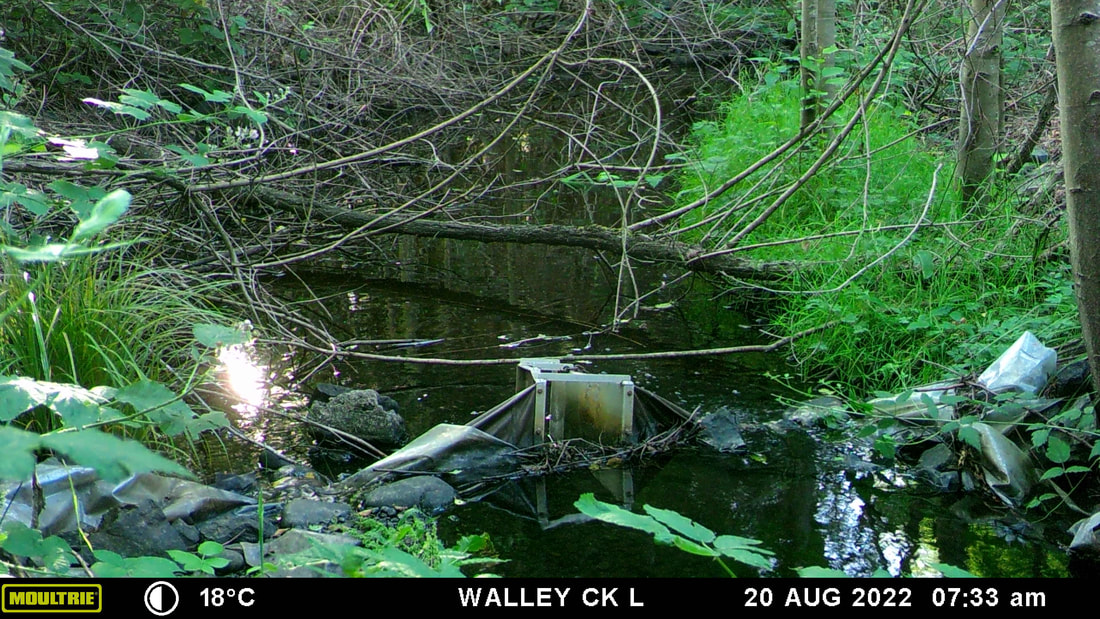 August 2022 - the whole summer was more or less at this level, with a few surges from summer rain 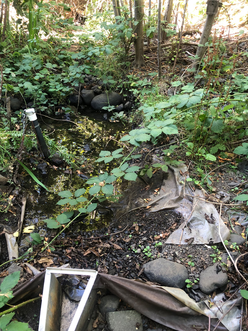 August 2023 - because of very low rainfall spring and summer 2023 there was no surface water in Walley Creek where it's been diverted to flow through a liner on the GNPCC property.
Pipers Pub monitoring site, SUMMER 2019 - 2021 Pipers Pub monitoring site, FALL 2019 - 2021 GNPCC monitoring site, SUMMER 2019 and 2021 GNPCC monitoring site, FALL 2019 Morningside Park monitoring site, SUMMER 2019 - 2021 Morningside Park monitoring site, FALL 2019 - 2021 Walley Creek at Hammond Bay (Footbridges) monitoring site, SUMMER 2019 - 2021 Morningside Park monitoring site, FALL 2019 - 2021
There is nothing more heartbreaking to a Streamkeeper than seeing a stream disappear. During the summer of 2019, we were dismayed to see Walley Creek go subsurface below Shores Drive. This impacted our water quality monitoring (no water, no data!), and we assumed would have a disastrous effect on the trout and aquatic invertebrates in those lower reaches. We contacted the Province (Ministry of Forests, Lands and Natural Resources, Water Protection Branch) for assistance, and were put in touch with regional hydrologist Neil Goeller to learn about flow monitoring opportunities. He suggested setting up a trail camera and flume + pressure transducer somewhere around our lowest water quality monitoring station near Morningside Drive to compare stream flow with rainfall. The RDN also gave us permission to set up a trail camera and flume + pressure transducer where the creek flows through the GNPCC property. Neil suggested the flumes would be most useful to measure summer (low) flows. In the winter we would have the option of using a FlowTracker2 to take measurements, or just taking photos and measuring depth. Flow monitoring data gets uploaded to the Provincial database, and the longer you have been recording data the better. Neil said 10 years is good, 20 years is great. We want to better understand the floodplain dynamics and flow regimes along the whole length of Walley Creek. Basically Neil's advice was - understand what's there so we can look for opportunities to improve green space/habitat/water retention.  Two flow monitoring stations were set up in late August 2019. By September the lower flume kept over-topping during large rain events, even after Neil replaced it with a larger one. He suggested that we switch to taking periodic discharge measurements with a flow meter and staff gauge (think ruler). He noted that the creek seemed to go dry a few days after a rain event in September, so he wondered about simply noting presence/absence of water since the most pressing question was of continuous flow (or not). In January 2020 Neil trained us on using the FlowTracker2, with the goal of comparing water levels (using the pressure transducers already installed) with flow. Gauging flows this way takes about 30 minutes each time, taking multiple measurements across the width of the creek, which Linda and Nina carried out from March until July 2020, when flows were too low to measure. The Mid Vancouver Island Habitat Enhancement Society (MVIHES) has published several reports (Dumont, J. 2017) on their flow monitoring of Shelley Creek near Parksville which may be of use as we look to evaluate how extreme high/low flows are impacting the habitat of Walley Creek. On November 3, 2020 Linda and Nina measured a discharge rate of 0.1608 cubic metres per second, and a water depth of 16 cm. That translates to a flow of 160L/sec!! Neil confirmed that this was correct. The following week it was back to 6cm of depth and flowing at 16L/sec. February 2023 Linda is again in possession of the Flowtracker (on loan from the Province). We are trying to get enough baseline measurements that the pressure transducer measurements can be converted to real-time flow data. We are also planning to participate in training with the BC Conservation Foundation on collecting and reporting on these measurements.
In May 2016, NALT offered a Streamkeepers workshop on Departure Creek. Nina was able to attend the two full days of training, and became an official Streamkeeper! As a group we decided it was time to visit Gail Adrienne, NALT's Executive Director, to thank her for connecting us, and to ask her advice about what to do next. She suggested working with Dave Clough to plan for riparian planting. This would help establish shade and prevent erosion of the banks of the creek.
Gail also had great information about the history of Walley Creek. She said it is one of the last creeks in Nanaimo that is open to daylight along its whole length, and that it is known for having year round flow. She knew that the Georgia Basin Ecological Assessment and Restoration Society (GBEARS) did a small project to restore a culvert along Walley Creek many years ago. She suggested we do as much research as possible into the history of the area so we would know what to realistically aim for in terms of restoration. She alluded to many (ahem) interesting diversions of the creek by people who live beside it, especially in the strata neighborhood at McGuffie and Hammond Bay Roads. Finally Gail suggested we officially become the Walley Creek Streamkeepers, as a committee under NALT. This solved our dilemma about how formal our group should be and how to apply for grants for the work we want to do. It's official - we are the Walley Creek Streamkepers! |
Categories
All
Archives
March 2024
|
 RSS Feed
