|
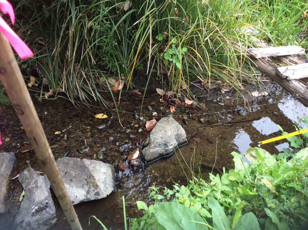
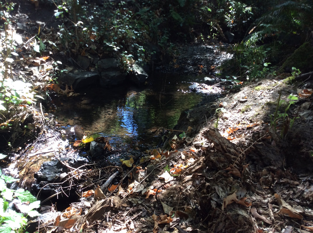
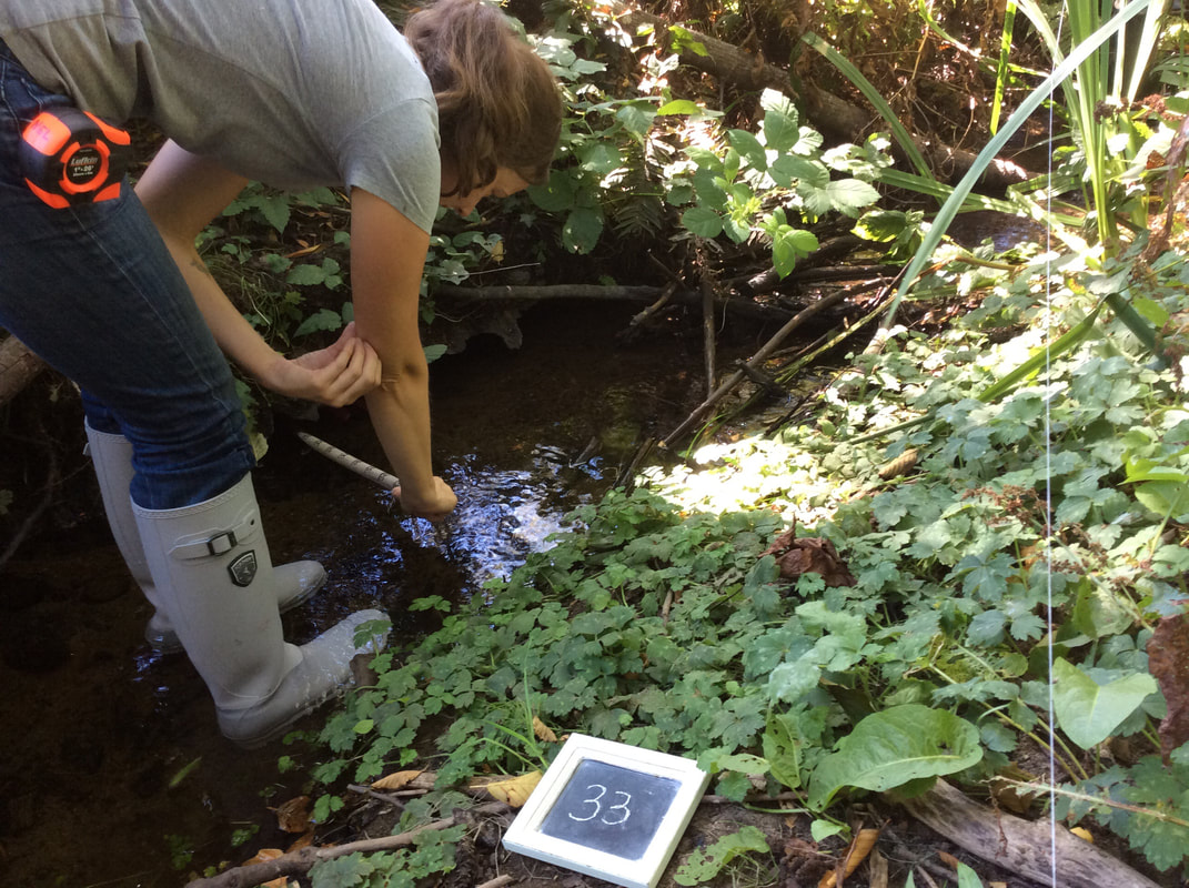
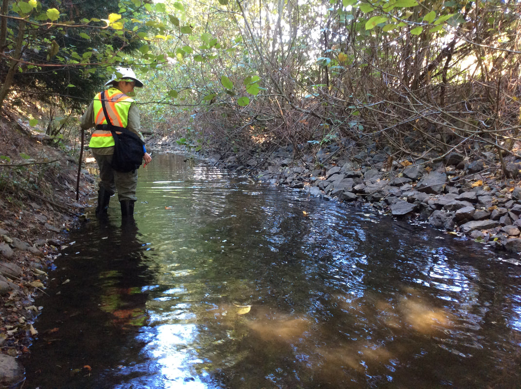
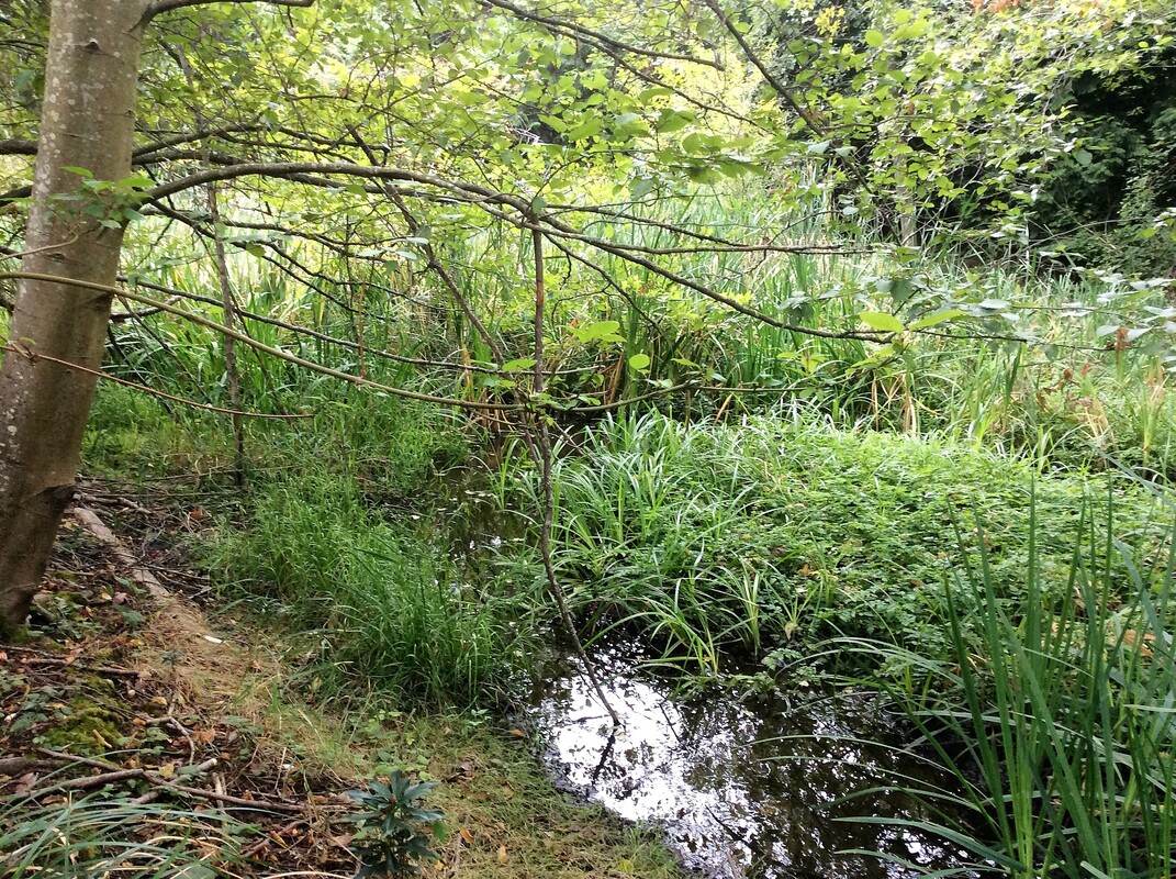
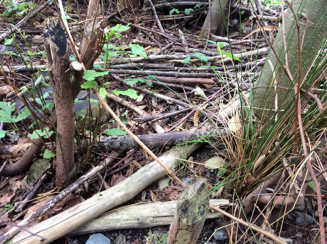
Dave Clough, the City of Nanaimo, and the DWWP program (RDN) all encouraged us to do an in-depth survey of the creek to help establish restoration priorities. With support from the Pacific Salmon Foundation, we bought a hip chain to measure distance, made a pole to measure water depth, and set up an iPad with the Avenza app to hold the data we planned collect. Dave Clough met us at the beach where Walley Creek meets the ocean, and walked us through how to distinguish a pool from a riffle - the two habitat units measured using USHP methodology. Working our way up the creek, gaining confidence as we went, we collected a dozen data points for each habitat unit. In 2016 we measured Reach 1 - from the ocean to Morningside Drive, Reach 2 - from Morningside to Shores Drive, and Reach 3 - from Shores Drive to McGuffie Road. It was incredible to look at the creek and its inhabitants so closely. Reach 1 Habitat Unit 02, just up from the beach. Reach 3 - Walley Creek above Shores Drive is essentially one long pool. Here the creek flows through a clay liner that the RDN constructed during the 2002 upgrade to the Greater Nanaimo Pollution Control Centre. At the top, near McGuffie Road is a large wetland where we found evidence of a beaver. In 2016 we collected data on 71 habitat units over 3 reaches! In addition, we started water quality monitoring through the RDN's Community Watershed Monitoring Program.
0 Comments
|
Categories
All
Archives
March 2024
|
 RSS Feed
