|
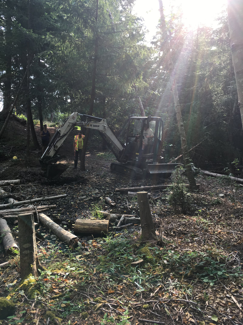
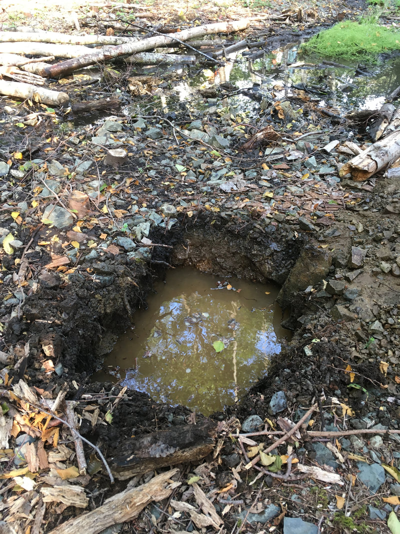
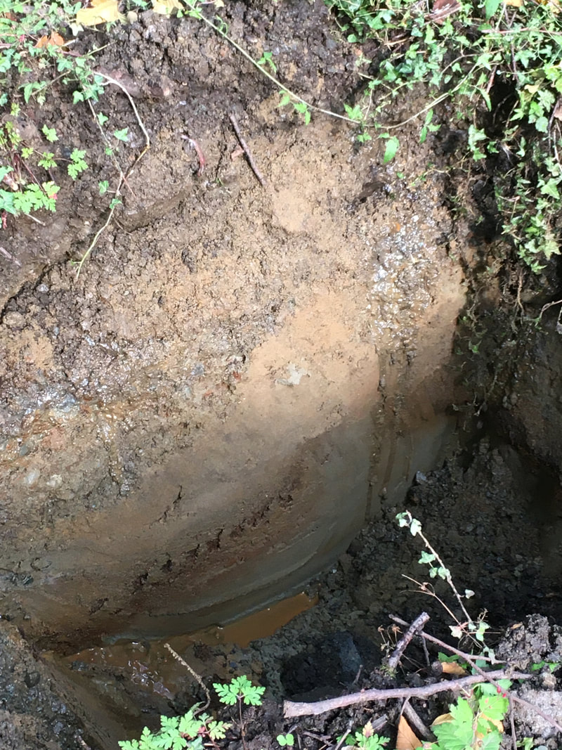
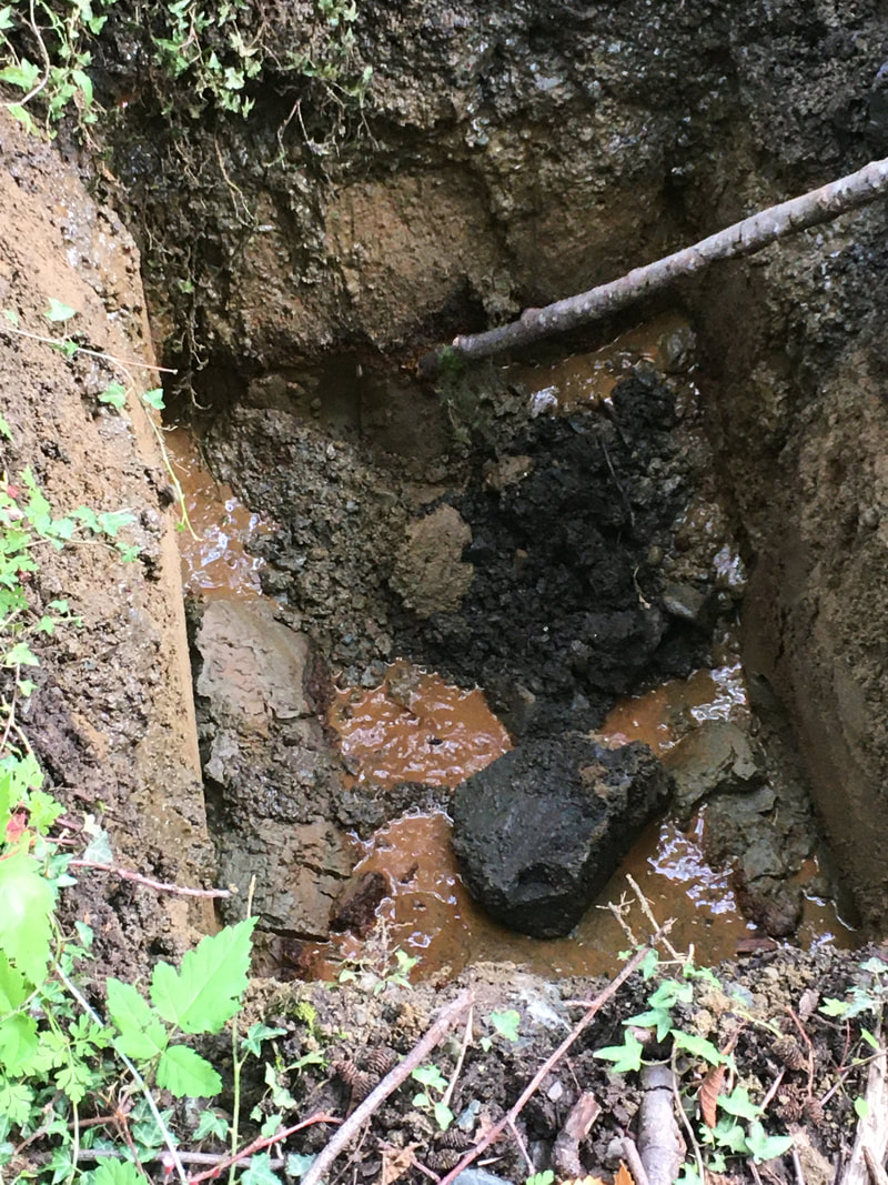
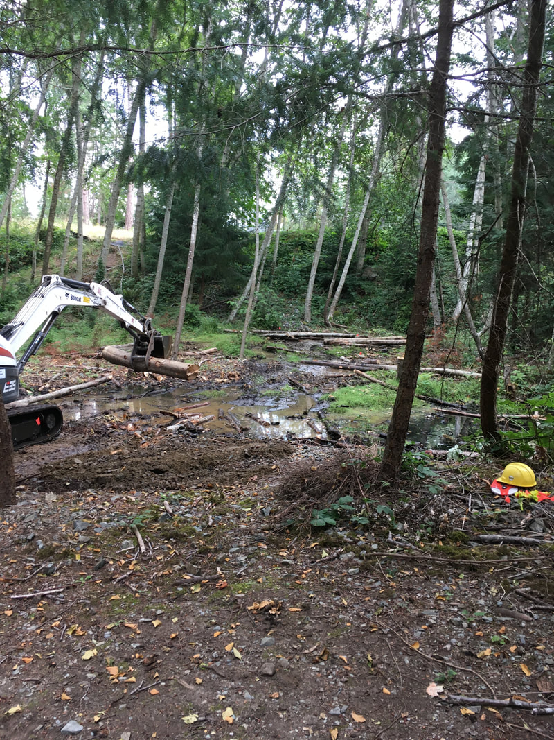
For the past year, we have worked with the City of Nanaimo to restore the riparian area in reach 2 (read more here). Between the crushed gravel path and the creek there is a shallow pool with some water flowing through it. With help from Elke Wind, herpetologist and wetland specialist, we investigated this area for potential wetland enhancement. The City of Nanaimo generously supplied an excavator and operator (Ryan) to dig test pits so we could examine the underground soil structure and better understand how water moves through this area. Ryan excavated 5 test pits so we could see if the water flowing through the wetland area is surface water or groundwater. We determined that it is surface water, possibly flowing from the north (ie. Shores Drive access to Neck Point). The pits filled up with water, so after filling the holes back up they were very soft (like quicksand). Ryan placed boulders and logs over top, and we flagged where the pits were. We did not expect the sandy substrate underneath the shale rock on the surface! As far as wetland enhancement - Elke suggested we could put in a pond liner with wetland plants around the periphery, or watch the existing surface water and plan to enhance what's there. Elke's advice either way is to watch the water level and flow before making further plans. The wetland area after our investigations.
0 Comments
|
Categories
All
Archives
March 2024
|
 RSS Feed
