|
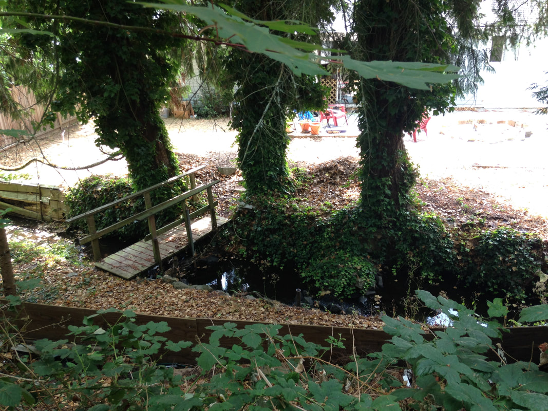
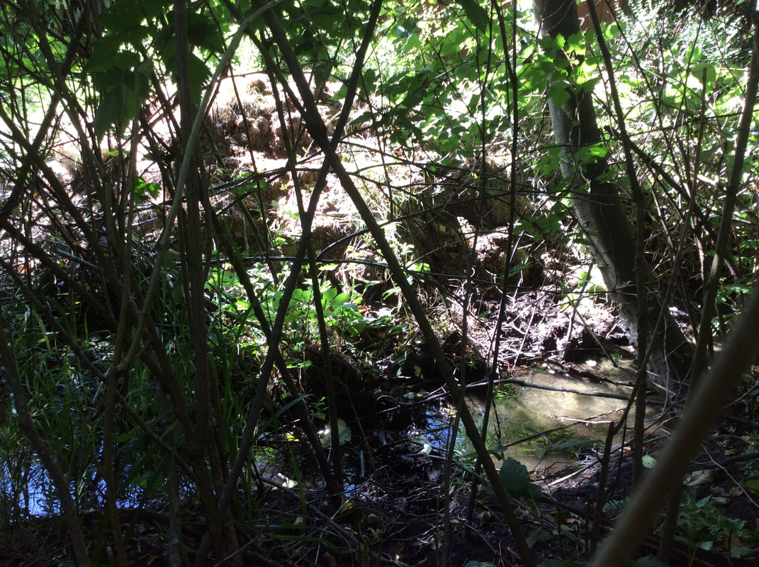
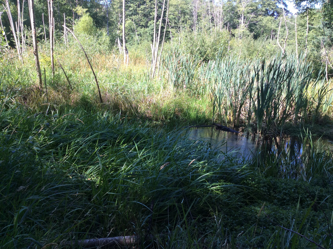
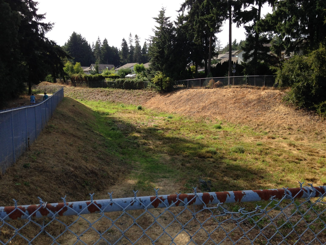
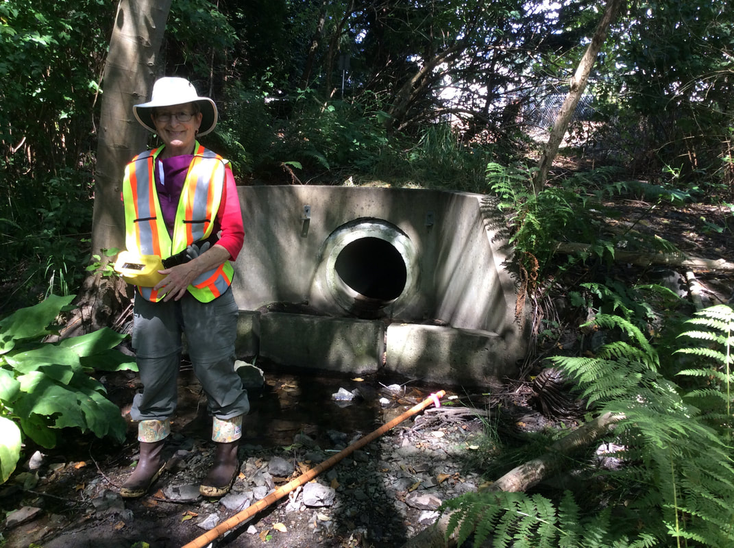
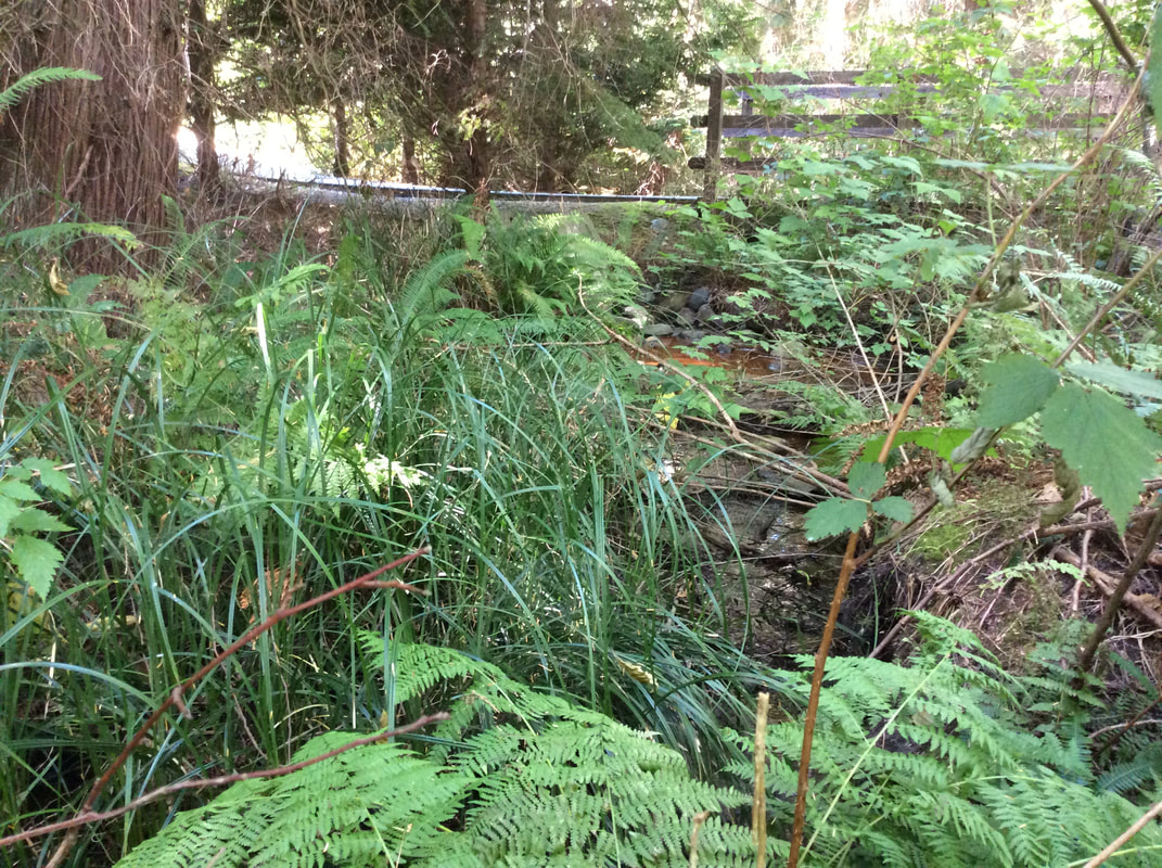
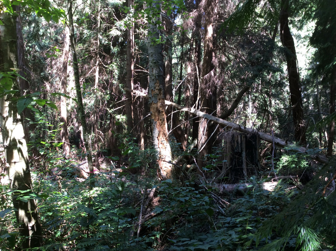
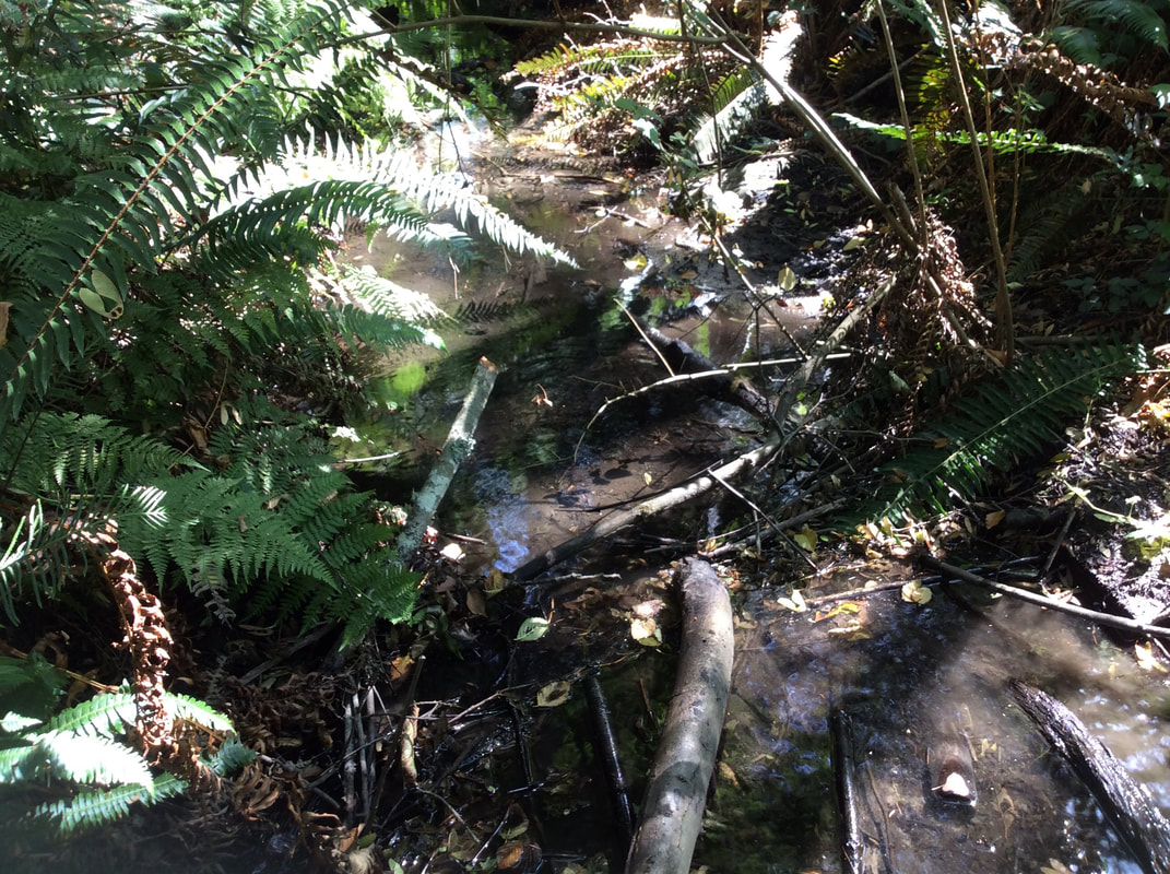
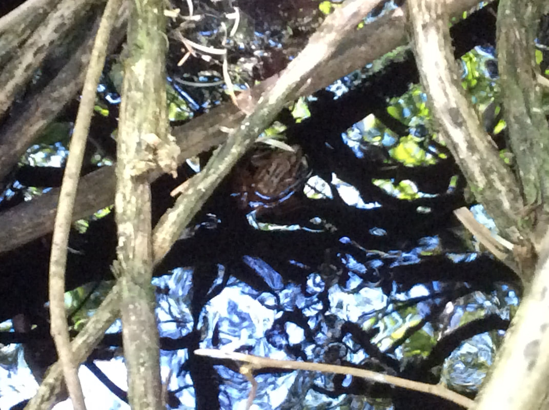
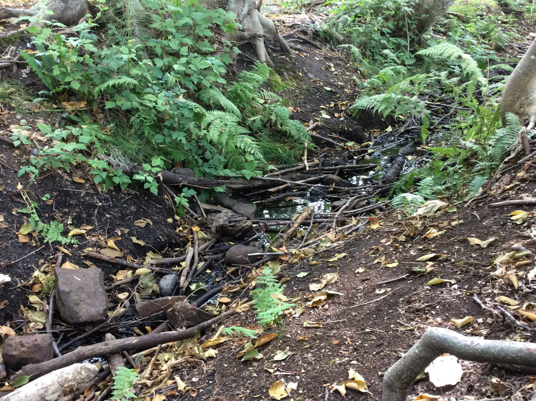
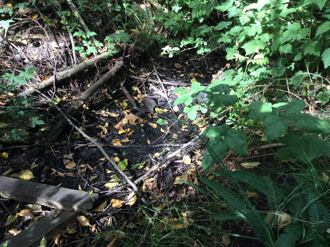
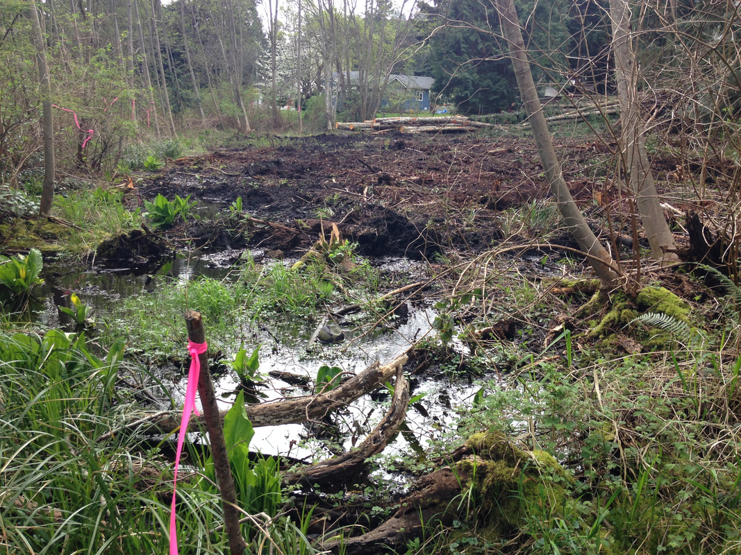
In 2017 we picked up the USHP survey where we'd left off at McGuffie Road. Reach 4 flows through a strata development where people have literally built right on top of the creek. There are bridges, hardscaping, and no regard for a riparian buffer. A City path dead-ends at private property south of Piper's Pub. This area has beautiful wetlands that suffer from illegal dumping of fill and yard waste, but so far have not been impacted by development. We installed wildlife cameras in one wetland area between Logan's Run and Piper's Pub in 2018. North of Vista View Cresent are two large wetlands: one is natural, the other is a man-made stormwater detention pond behind a chainlink fence. At Vista View the City path starts again, and Walley Creek flows parallel to this paved path that gets lots of foot and bike traffic from local residents. The path continues east and ends near the source of Walley Creek, at Frank J. Ney Elementary school. We came across a couple of storm drains that empty into the creek behind a townhouse complex south of the Hungarian Cultural Centre. The City of Nanaimo interactive web map shows that these pipes are conveying rain water into the creek from developed areas between the Linley Valley and Rocky Point. (To see storm drains: open the interactive web map, then click on themes > utilities, then on the left side click the box that says "storm". You have to be zoomed in really close for the utilities to show up.) As we walked upstream the creek switches from one side of the paved path to the other. When we crossed over the paved path to continue measuring, we were awed to see a bat fly back and forth across the stream, dipping into the surface of the water several times before disappearing into a cavity in a nearby tree. When we reported this to a bat biologist she said it's very unusual to see a bat during the day and we may nave seen a thirsty nursing mother! The "bat tree" below is obviously also a snack bar for woodpeckers, nestled in a grove of Fir and Spruce trees. The creek and riparian area along this path are so beautiful. There is old evidence of logging, but the alders and Cedar have grown up and there is a rich diversity of native species including Oregon grape, trailing blackberry, salal, salmonberry, ferns, vanilla leaf, and skunk cabbage. The creek flows over silty bottom, with an occasional boulder, but there is relatively little cobble or gravel in the stream bottom upstream of McGuffie Road. This means the habitat isn't ideal for fish spawning, or the invertebrates fish love to eat. As we noticed often during our survey, however, the creek supports a wide variety of life besides fish. After crossing Williamson Road we spotted this little frog cooling off in the water. Herpetologist Elke Wind advised us that Walley Creek and its wetlands are important breeding habitat for frogs and salamanders that spend the rest of their time in forested areas like the Linley Valley. Protecting migratory corridors between these two areas (forest and stream) will be crucial for the survival of these fragile species. Upstream from Williamson Road Walley Creek flows between Harry Wipper Park and the outdoor classroom used by students at Frank J Ney Elementary school. Here the dominant species is alder, with a few sword ferns. The skunk cabbage and salmon berry tend to get trampled by children exploring and learning outdoors, and the stream is choked with small woody debris. With enough flow and slope, small woody debris can have a healthy scouring effect, but if it plugs up the flow it can create erosion on the banks. This is not a big problem at the headwaters of the creek since the flows are small, even in the winter. The question of how to improve biodiversity and stream health at this site is not an easy one to answer. When the school was built it's likely an excavator dug a channel to encourage the stream to flow in its present path, and to drain water away from the construction site. Since the original sponge-like infiltration area has been drastically reduced by development in this area we must now look for ways to prevent any further loss of wetland area here at the headwaters, and throughout the watershed. The beginning of the end. Just before we reached Entwhistle Drive, the water disappeared. In the winter there is surface water on either side of Entwhistle Drive as far east as Springfield Place. Our August Stream survey, however, ended here. As Nanaimo continues to grow, there is pressure to increase density on the suburbs. While this is a smart strategy to combat urban sprawl, it should not be at the expense of life-sustaining wetlands and streams like Walley Creek. This photo was taken in 2016 before a townhouse complex was built between Fillinger Crescent and Entwhistle Drive.
0 Comments
|
Categories
All
Archives
March 2024
|
 RSS Feed
