|
We've been collecting measurements of Walley Creek flow since August 2019, when we saw the creek go completely dry for the first time in known history. We're working with the BCCF Flow Monitoring Network (Flo Mo) to get our data up to "grade C" as far as Resources Information Standards Committee (RISC) standards. This will involve continuing to use the Flowtracker at least 6 times/year during high flow, continuing to collect level logger measurements at least 4 times/year, and using flumes as well as photographic evidence during low flow or dry events. The Standard Operating Procedures Manual and data sheets are available on the resources section of the BCCF Community Flow Monitoring Network website. Collecting data is a very technical process, involving expensive equipment that is often shared between organizations and doesn't always work the way it's supposed to. Interpreting the data involves comparing the measurements against rainfall amount, barometric pressure, and creek size/shape. Then there's the challenge of reflecting on the information in a way that's meaningful to the people who want to understand it for decision making. As NALT staff continue to collect flow measurements on Walley Creek, we'll work towards maintaining the flume at the RDN GNPCC. The BCCF is supporting us to add a Flo Mo monitoring station in 2024. We really want to know and understand the flows on Walley Creek. At its lowest flow there are sections that go subsurface just above Shores Drive, while on October 18, 2023 we recorded 130 L/second in Reach 1. Its highest flow was taken November 15, 2021 at 300L/second!! Our goal is to work with City storm water managers to mitigate impacts on fish and other life in and around Walley Creek. 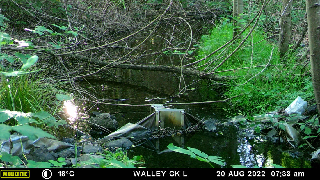 August 2022 - the whole summer was more or less at this level, with a few surges from summer rain 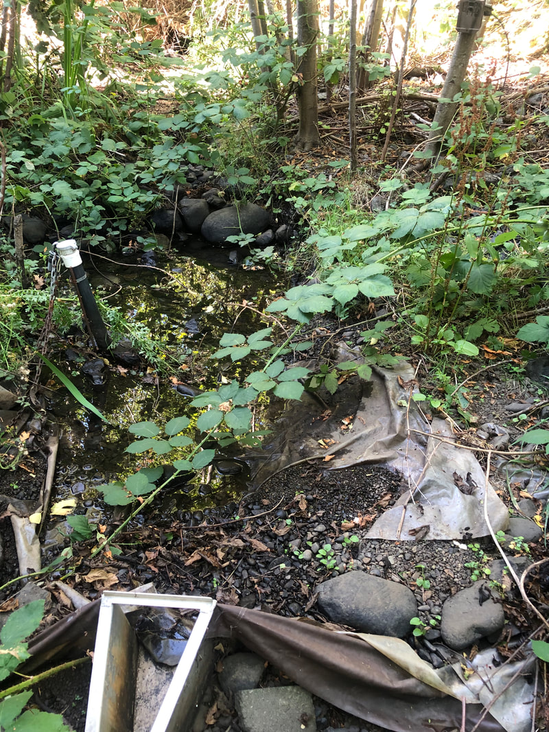 August 2023 - because of very low rainfall spring and summer 2023 there was no surface water in Walley Creek where it's been diverted to flow through a liner on the GNPCC property.
0 Comments
We have initiated a project with Frank J Ney school (upper reaches of Walley Creek) that would take place over three or more years, where we'd invite students and families of the elementary school to get involved with invasive species removal and finding a balance between children accessing the area for exploration and learning while encouraging ecological health. Module 8 of the Streamkeepers handbook is all about preventing domestic animals from having unlimited access to the stream. We sometimes joking refer to the children that play in the riparian area as livestock, but the truth is they can have a very serious negative impact on the plant community by unknowingly trampling everything while engaged in their busy imaginative and construction play. One teacher had the brilliant idea of telling the children that it hurts the trees when their "toes" (exposed roots) get stepped on. After a year of reminding the children, there are now ferns and salmonberry bushes growing up in between the trees "toes" in this place between the school and the creek. An important goal of our Streamkeepers group is providing opportunities for young people and their families to connect to nature, and enjoy the mental health benefits of time outdoors, especially in creative or community-minded endeavors. While we want to limit the children's access to the streambed (to protect aquatic invertebrates, salamanders, frogs, and fish) we want them to KNOW this place and learn with and from its seasonal cycles. We look forward to beginning this project with the school, as a learning opportunity, community building endeavor, and ecological restoration project. 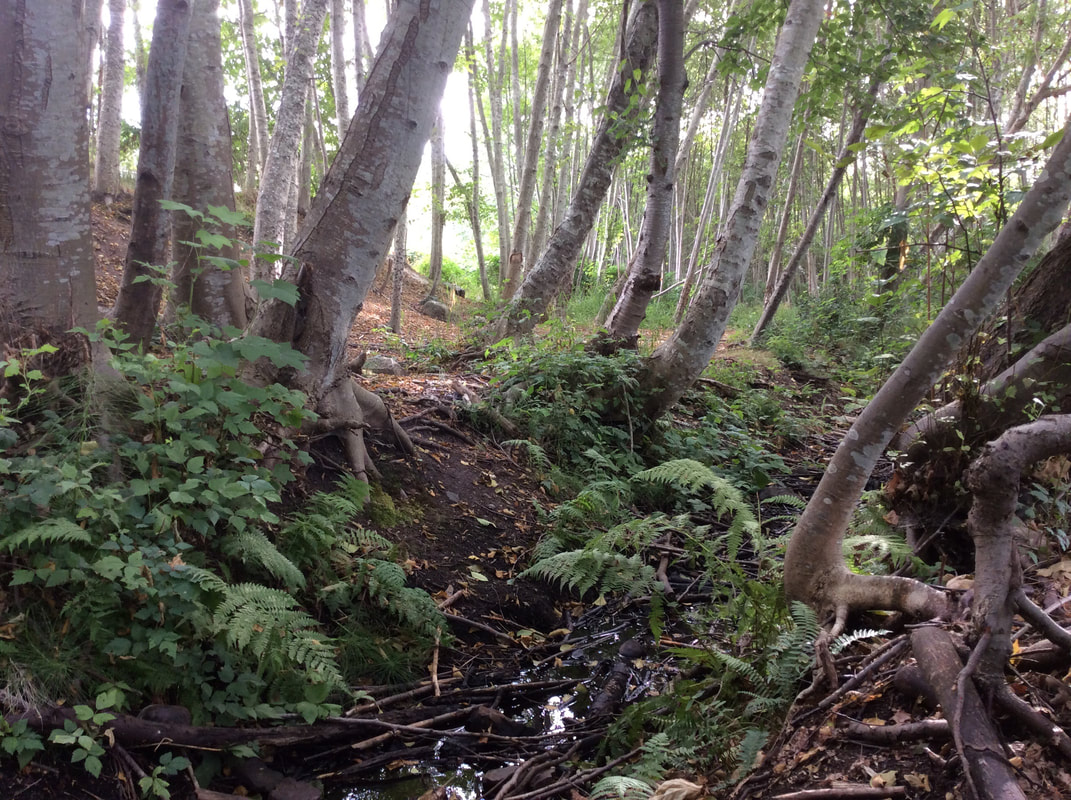 
aerial photo of Frank J Ney Elementary and adjacent green space
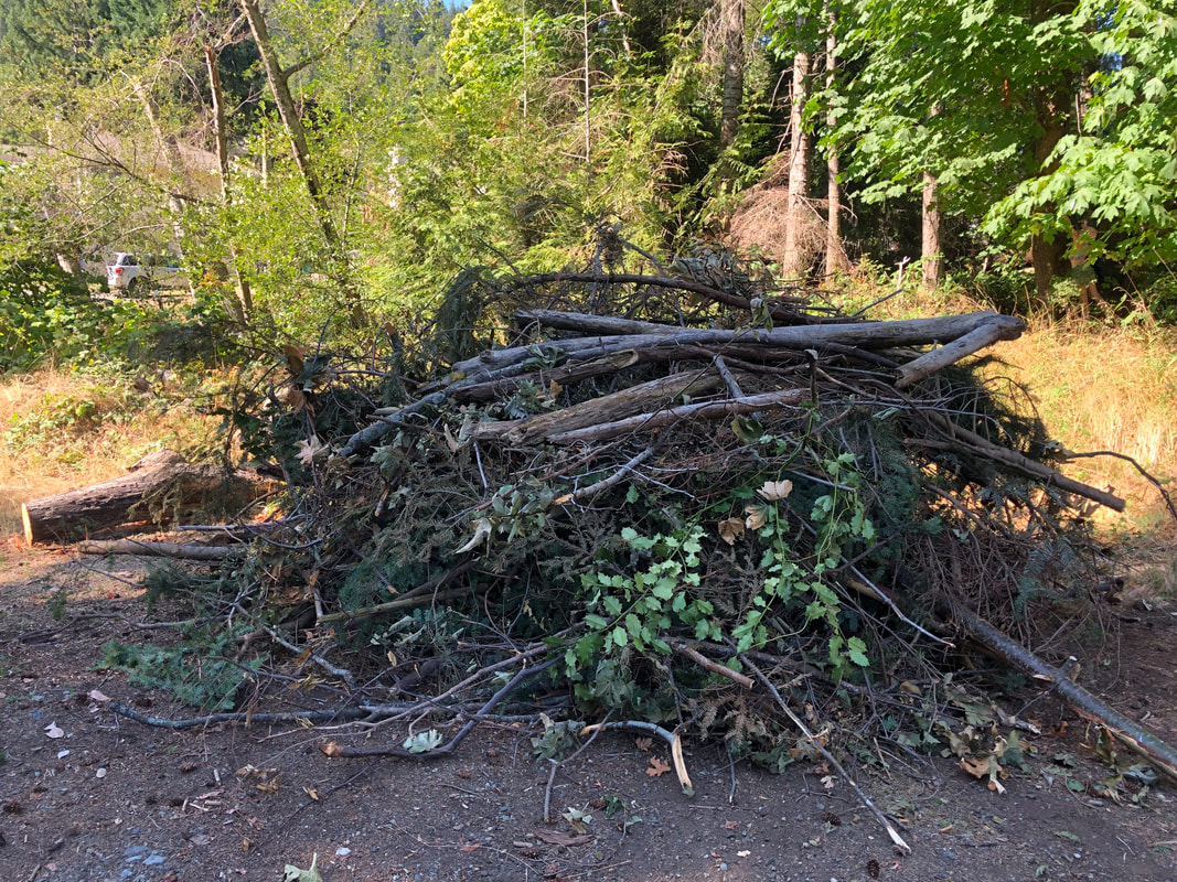
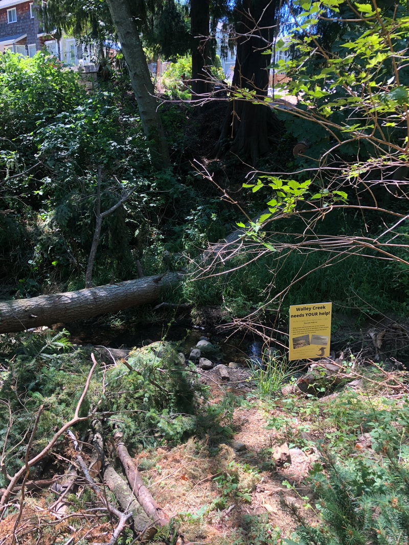
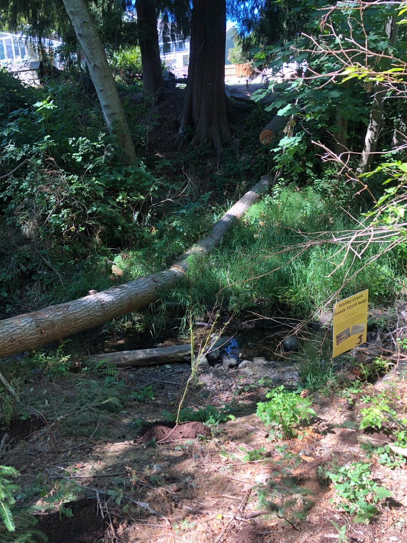
A tree came down across the creek several weeks ago, taking down the top of another tree and leaving a big mess in its wake. Unfortunately the branches and tree trunk squashed many of the plants from our fall planting project! A small group of hardworking volunteers worked to remove the branches, leaving a log which will provide shade and hopefully stabilize the bank. There are many trees remaining in this narrow corridor that are dead or dying. This area continues to struggle from drought, and erosion in the riparian area.
 |
Categories
All
Archives
March 2024
|
||||||
 RSS Feed
