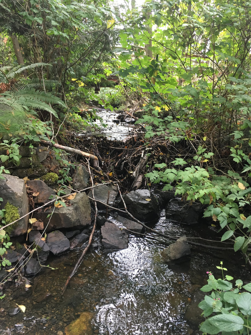
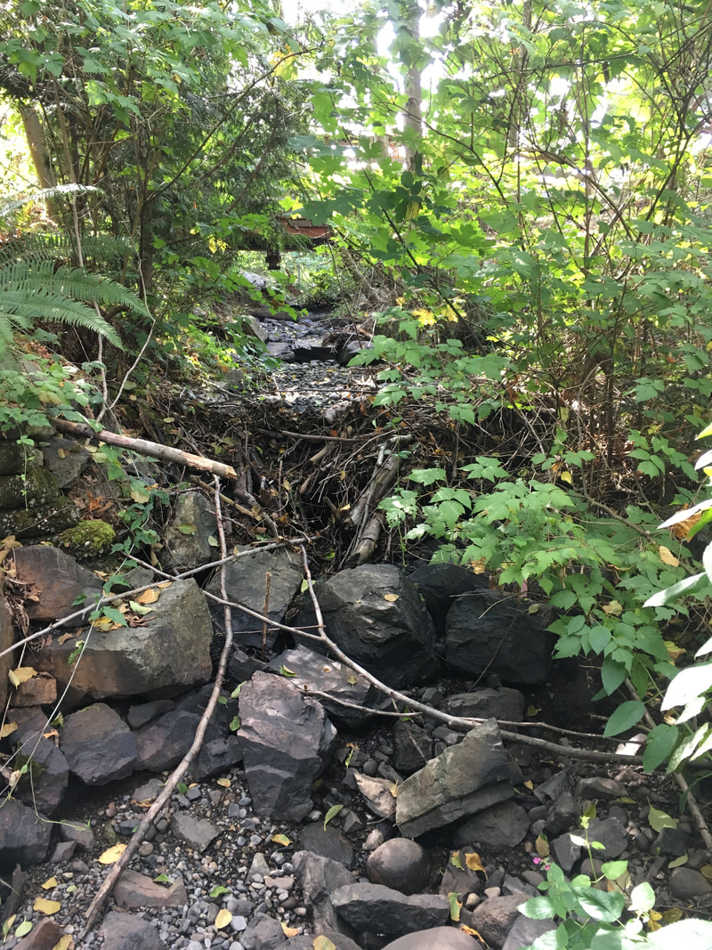
There is nothing more heartbreaking to a Streamkeeper than seeing a stream disappear. During the summer of 2019, we were dismayed to see Walley Creek go subsurface below Shores Drive. This impacted our water quality monitoring (no water, no data!), and we assumed would have a disastrous effect on the trout and aquatic invertebrates in those lower reaches. We contacted the Province (Ministry of Forests, Lands and Natural Resources, Water Protection Branch) for assistance, and were put in touch with regional hydrologist Neil Goeller to learn about flow monitoring opportunities. He suggested setting up a trail camera and flume + pressure transducer somewhere around our lowest water quality monitoring station near Morningside Drive to compare stream flow with rainfall. The RDN also gave us permission to set up a trail camera and flume + pressure transducer where the creek flows through the GNPCC property. Neil suggested the flumes would be most useful to measure summer (low) flows. In the winter we would have the option of using a FlowTracker2 to take measurements, or just taking photos and measuring depth. Flow monitoring data gets uploaded to the Provincial database, and the longer you have been recording data the better. Neil said 10 years is good, 20 years is great. We want to better understand the floodplain dynamics and flow regimes along the whole length of Walley Creek. Basically Neil's advice was - understand what's there so we can look for opportunities to improve green space/habitat/water retention.  Two flow monitoring stations were set up in late August 2019. By September the lower flume kept over-topping during large rain events, even after Neil replaced it with a larger one. He suggested that we switch to taking periodic discharge measurements with a flow meter and staff gauge (think ruler). He noted that the creek seemed to go dry a few days after a rain event in September, so he wondered about simply noting presence/absence of water since the most pressing question was of continuous flow (or not). In January 2020 Neil trained us on using the FlowTracker2, with the goal of comparing water levels (using the pressure transducers already installed) with flow. Gauging flows this way takes about 30 minutes each time, taking multiple measurements across the width of the creek, which Linda and Nina carried out from March until July 2020, when flows were too low to measure. The Mid Vancouver Island Habitat Enhancement Society (MVIHES) has published several reports (Dumont, J. 2017) on their flow monitoring of Shelley Creek near Parksville which may be of use as we look to evaluate how extreme high/low flows are impacting the habitat of Walley Creek. On November 3, 2020 Linda and Nina measured a discharge rate of 0.1608 cubic metres per second, and a water depth of 16 cm. That translates to a flow of 160L/sec!! Neil confirmed that this was correct. The following week it was back to 6cm of depth and flowing at 16L/sec. February 2023 Linda is again in possession of the Flowtracker (on loan from the Province). We are trying to get enough baseline measurements that the pressure transducer measurements can be converted to real-time flow data. We are also planning to participate in training with the BC Conservation Foundation on collecting and reporting on these measurements.
0 Comments
Leave a Reply. |
Categories
All
Archives
March 2024
|
 RSS Feed
