|
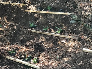
Streamside planting, including adding topsoil and mulch.
0 Comments
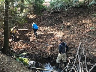
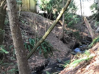
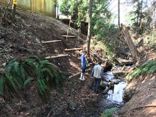
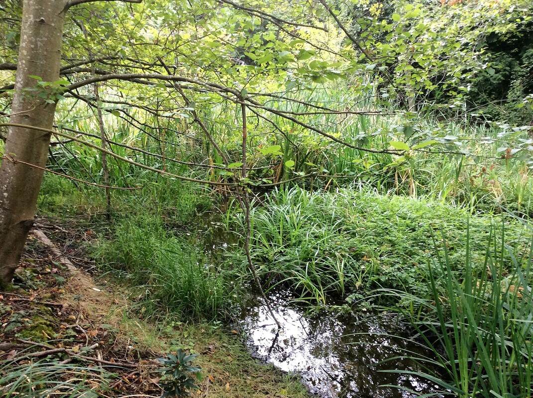
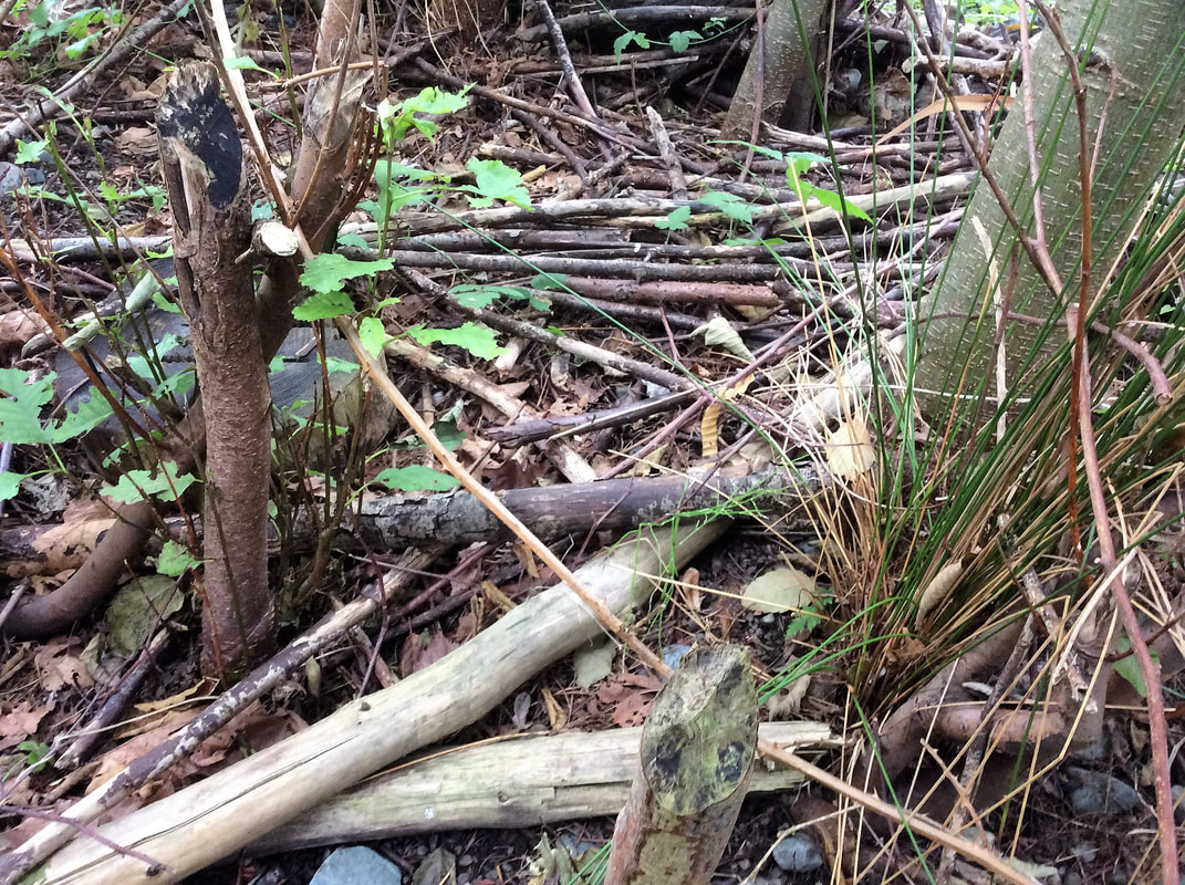
With guidance from Dave Clough, we installed 16 pieces of 8-foot long untreated landscape ties held in place by 3-foot pieces of rebar. This steep slope has endured scouring by private landowners who toss yard waste over their fence into the riparian area. We cleared out several garbage bags full of waxy leaves (camellia?) that were not decomposing and were suffocating any native plants trying to establish on the slope. With a lot of muscle and determination we dug trenches in the bank to nest the landscape ties in, then hammered rebar through holes drilled at each end of the ties. These will provide a shelf that we can plant ferns and Oregon grape behind; the native plants will help prevent erosion and improve water quality.
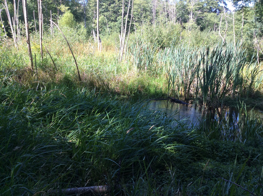
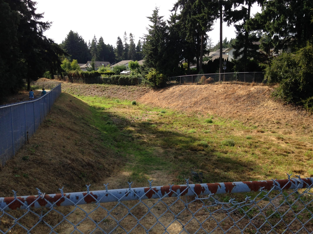
Later a volunteer from the Island Waters Flyfishers (who are also part of the RDN's CWMN and are stewards of the Millstone River in Nanaimo) planted red osier dogwood cuttings right at the creek-side to further increase stability and prevent erosion. He used plastic cones to temporarily prevent the cuttings from being browsed by deer. In this reach there are still some significant pieces of human garbage that need to be removed: a huge piece of concrete (an old piece of patio?) that is at risk of sliding down into the creek, as well as a an old wooden bridge. The property owner nearest to where the bridge is located has agreed to give us access and help remove it. The concrete could require a truck with a winch to pull it away from the edge of the slope and remove it safely. There are also several generations of Christmas trees either in or near the creek, and several wooden fence posts still attached to chunks of concrete footing. We will continue our public outreach in this area to educate all the property owners who back onto the creek about the sensitive ecosystem and it's legal protection under the Riparian Areas Act. If you have visited Neck Point Park in Nanaimo you have passed over Walley Creek where it flows into Hammond Bay. This section of the creek, upstream of Morningside Drive, flows between private properties and a piece of City of Nanaimo park land. The park is enjoyed by students from École Hammond Bay Elementary School and children from the surrounding neighbourhood. It has a small wetland with potential habitat for salamanders, frogs, and all sorts of mammals and birds. Illegal dumping of yard waste and garbage over the years has done serious damage to a steep slope on the north side, eroding the bank and degrading the riparian zone. It is the location of one of our RDN CWMN water quality monitoring sites, and an area where we have worked hard removing garbage and invasive species in the past two years, with help from Grade 7 École Hammond Bay students. Dave and Brad added logs and stumps. Nina secured delivery of soil and bark mulch. Linda and Nina coordinated volunteers (neighbors, Dover Bay eco-club, family members, and Nature Kids) 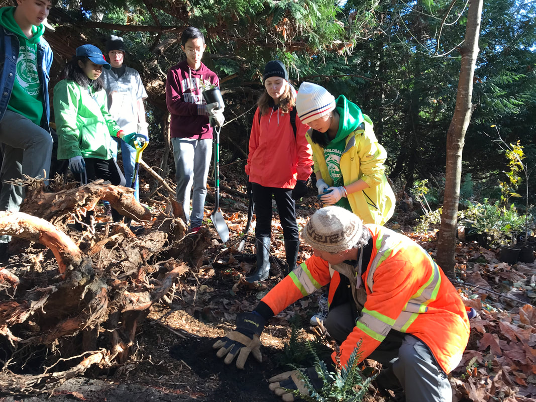 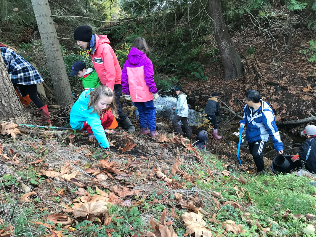 In 2017 we picked up the USHP survey where we'd left off at McGuffie Road. Reach 4 flows through a strata development where people have literally built right on top of the creek. There are bridges, hardscaping, and no regard for a riparian buffer.  A City path dead-ends at private property south of Piper's Pub. This area has beautiful wetlands that suffer from illegal dumping of fill and yard waste, but so far have not been impacted by development. We installed wildlife cameras in one wetland area between Logan's Run and Piper's Pub in 2018.  North of Vista View Cresent are two large wetlands: one is natural, the other is a man-made stormwater detention pond behind a chainlink fence.
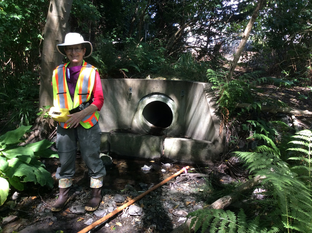
At Vista View the City path starts again, and Walley Creek flows parallel to this paved path that gets lots of foot and bike traffic from local residents. The path continues east and ends near the source of Walley Creek, at Frank J. Ney Elementary school. We came across a couple of storm drains that empty into the creek behind a townhouse complex south of the Hungarian Cultural Centre. The City of Nanaimo interactive web map shows that these pipes are conveying rain water into the creek from developed areas between the Linley Valley and Rocky Point. (To see storm drains: open the interactive web map, then click on themes > utilities, then on the left side click the box that says "storm". You have to be zoomed in really close for the utilities to show up.)
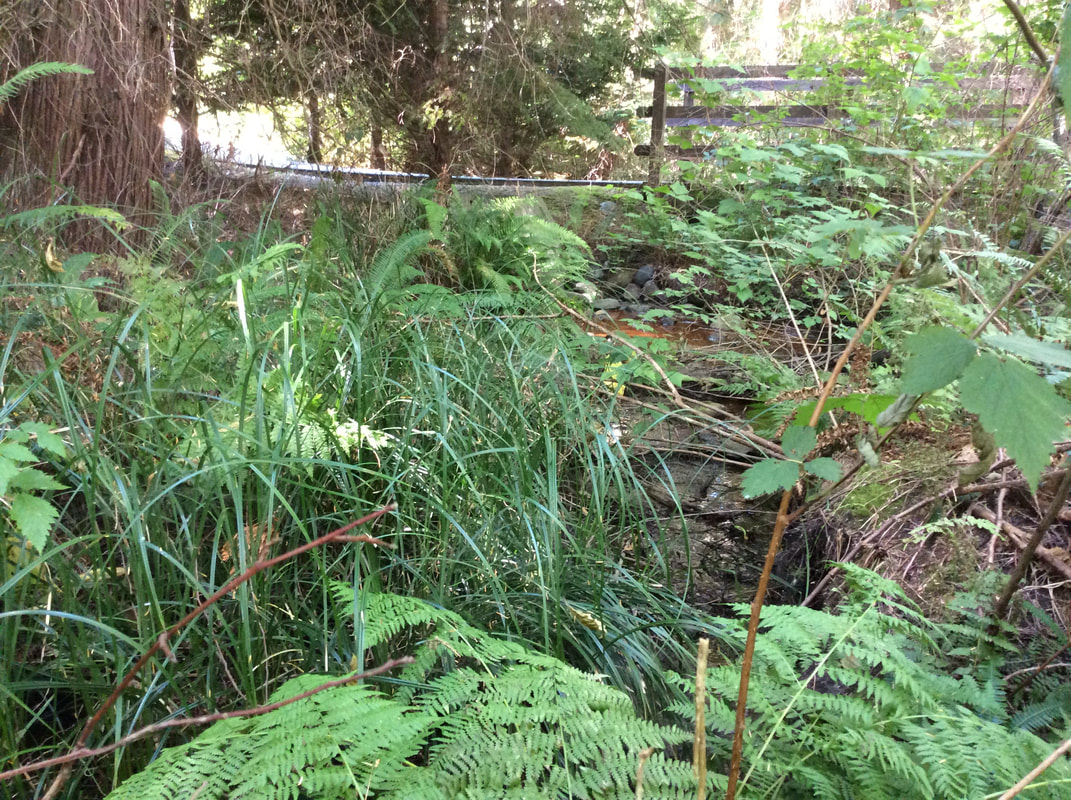
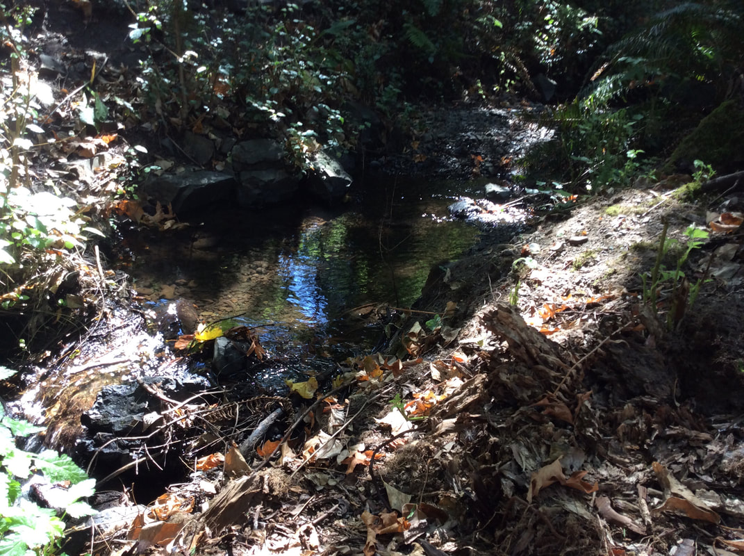
As we walked upstream the creek switches from one side of the paved path to the other. When we crossed over the paved path to continue measuring, we were awed to see a bat fly back and forth across the stream, dipping into the surface of the water several times before disappearing into a cavity in a nearby tree. When we reported this to a bat biologist she said it's very unusual to see a bat during the day and we may nave seen a thirsty nursing mother! The "bat tree" below is obviously also a snack bar for woodpeckers, nestled in a grove of Fir and Spruce trees. 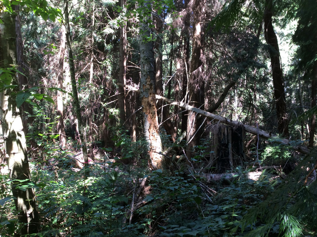 The creek and riparian area along this path are so beautiful. There is old evidence of logging, but the alders and Cedar have grown up and there is a rich diversity of native species including Oregon grape, trailing blackberry, salal, salmonberry, ferns, vanilla leaf, and skunk cabbage. The creek flows over silty bottom, with an occasional boulder, but there is relatively little cobble or gravel in the stream bottom upstream of McGuffie Road. This means the habitat isn't ideal for fish spawning, or the invertebrates fish love to eat. 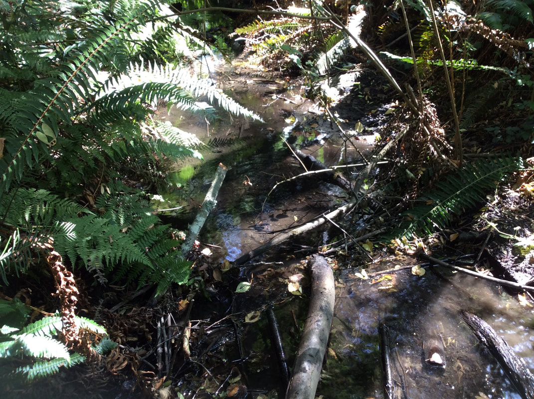 As we noticed often during our survey, however, the creek supports a wide variety of life besides fish. After crossing Williamson Road we spotted this little frog cooling off in the water. Herpetologist Elke Wind advised us that Walley Creek and its wetlands are important breeding habitat for frogs and salamanders that spend the rest of their time in forested areas like the Linley Valley. Protecting migratory corridors between these two areas (forest and stream) will be crucial for the survival of these fragile species. 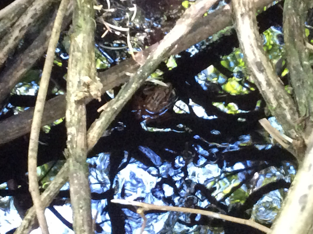 Upstream from Williamson Road Walley Creek flows between Harry Wipper Park and the outdoor classroom used by students at Frank J Ney Elementary school. Here the dominant species is alder, with a few sword ferns. The skunk cabbage and salmon berry tend to get trampled by children exploring and learning outdoors, and the stream is choked with small woody debris. With enough flow and slope, small woody debris can have a healthy scouring effect, but if it plugs up the flow it can create erosion on the banks. This is not a big problem at the headwaters of the creek since the flows are small, even in the winter. The question of how to improve biodiversity and stream health at this site is not an easy one to answer. When the school was built it's likely an excavator dug a channel to encourage the stream to flow in its present path, and to drain water away from the construction site. Since the original sponge-like infiltration area has been drastically reduced by development in this area we must now look for ways to prevent any further loss of wetland area here at the headwaters, and throughout the watershed. 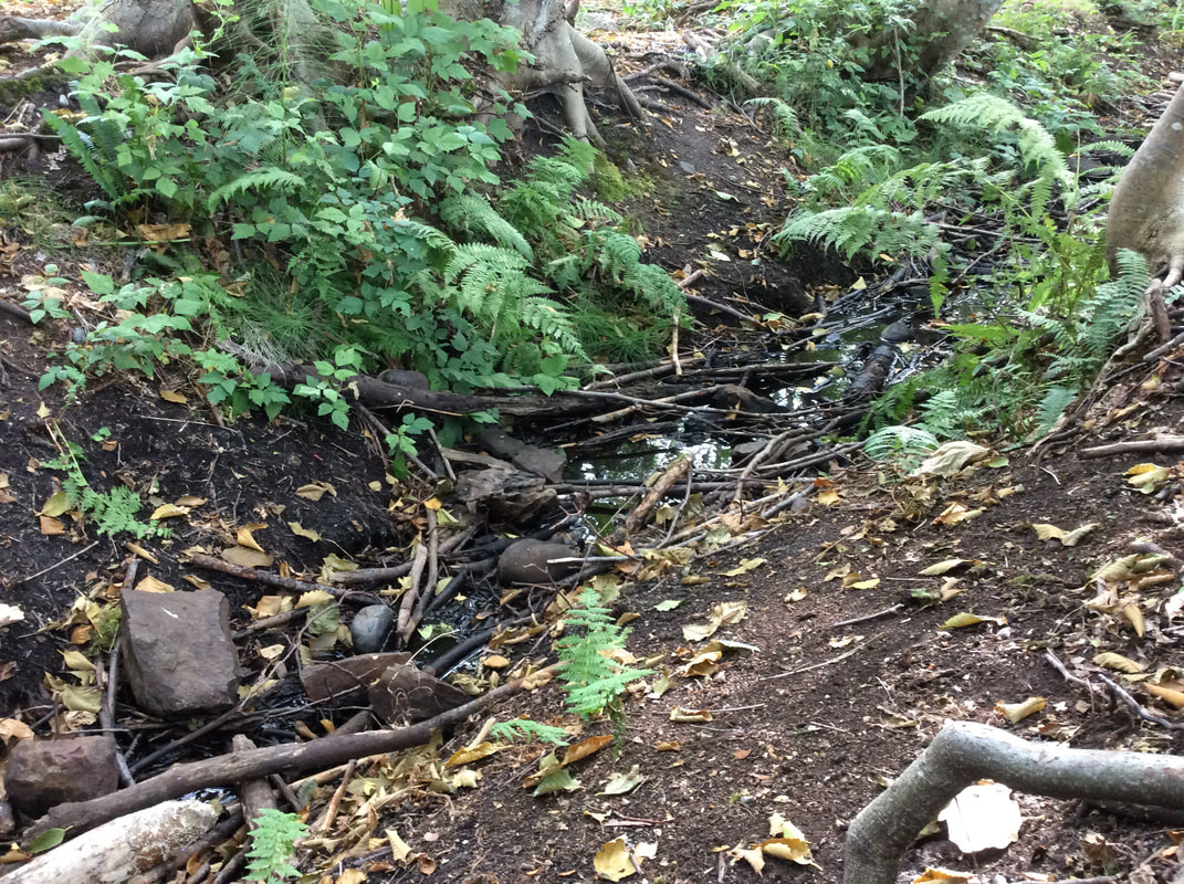 The beginning of the end. Just before we reached Entwhistle Drive, the water disappeared. In the winter there is surface water on either side of Entwhistle Drive as far east as Springfield Place. Our August Stream survey, however, ended here. 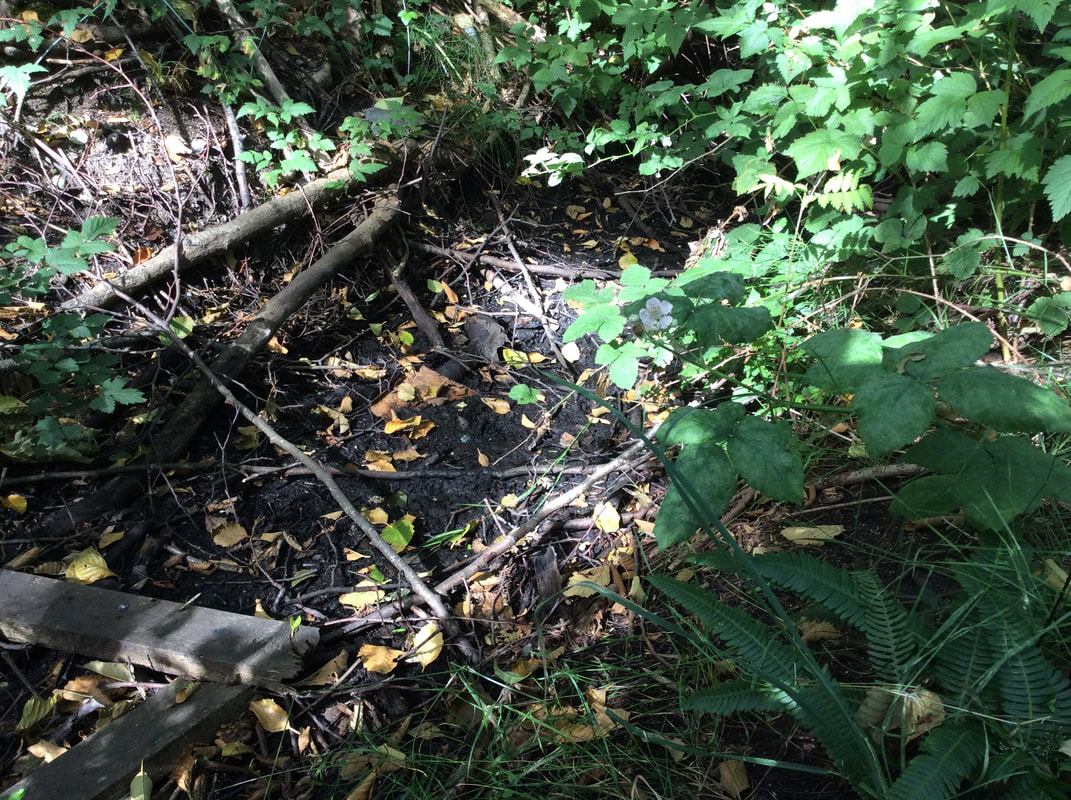 As Nanaimo continues to grow, there is pressure to increase density on the suburbs. While this is a smart strategy to combat urban sprawl, it should not be at the expense of life-sustaining wetlands and streams like Walley Creek. This photo was taken in 2016 before a townhouse complex was built between Fillinger Crescent and Entwhistle Drive. 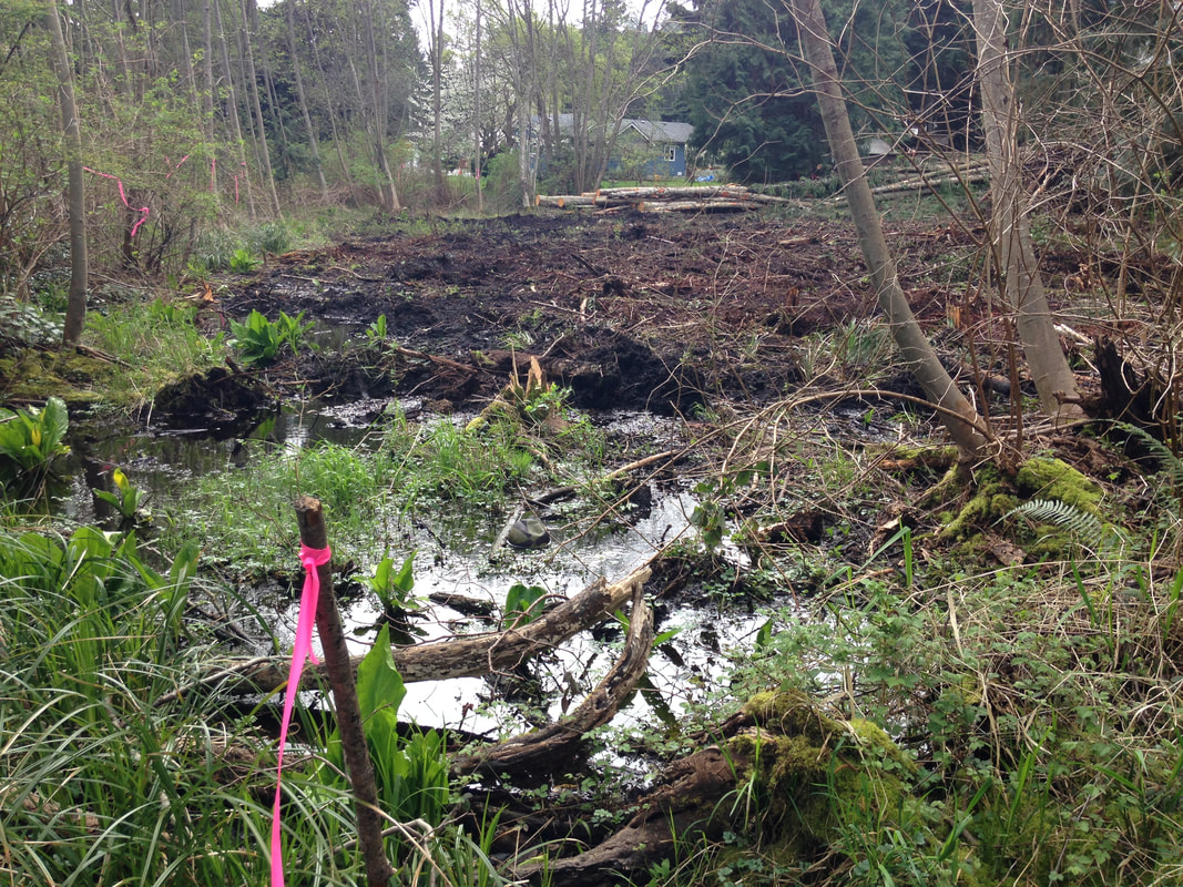
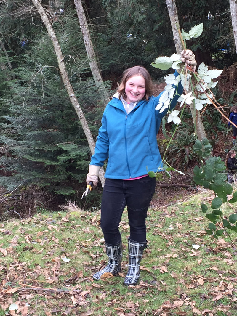
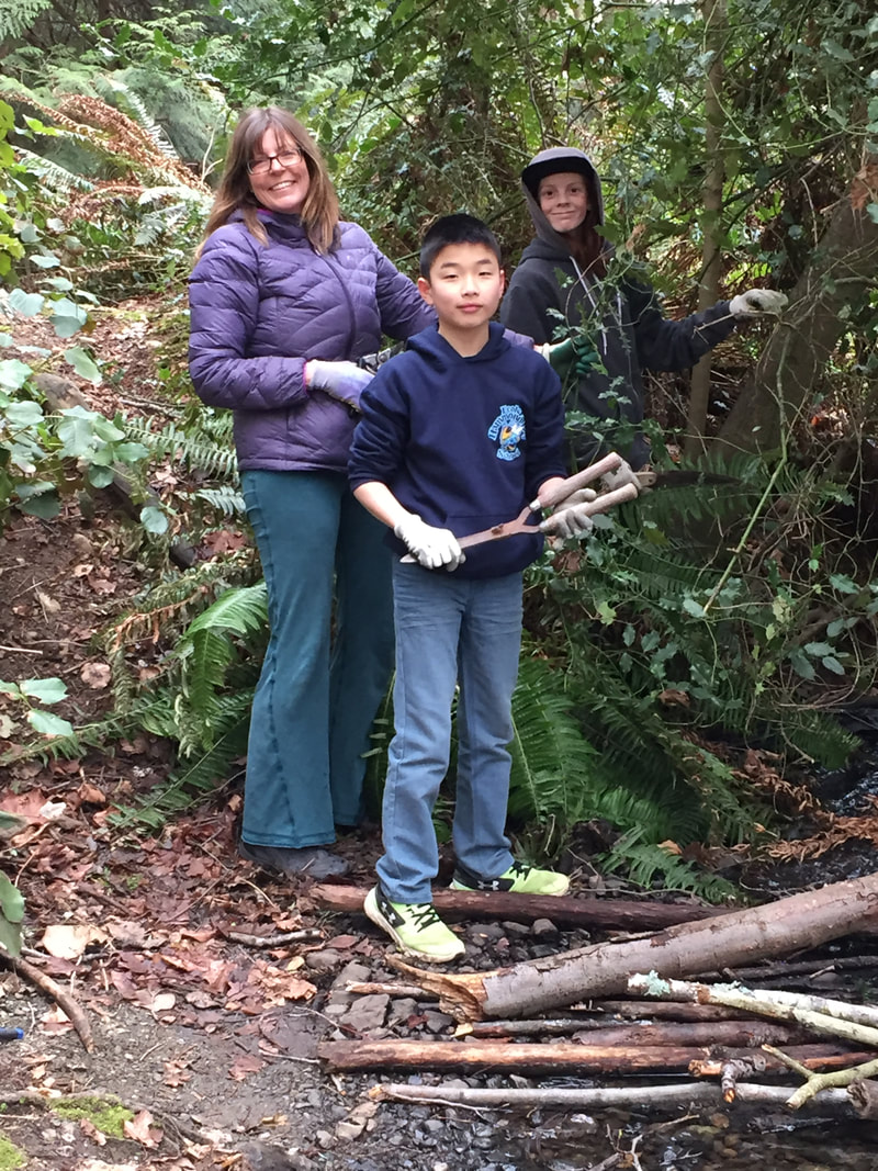
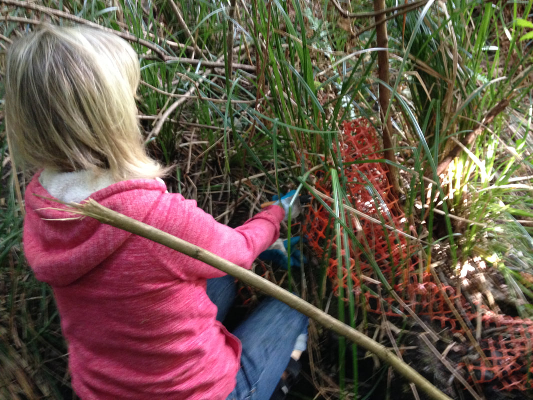 This was our first project with the graduating class of École Hammond Bay! Parents wanted a fundraiser that would involve the students and give something back to the community. They approached us about a work party where students would raise pledges in exchange for a couple of hours after school spent working with Walley Creek Streamkeepers. After an important tutorial on why we remove invasive plants (they outcompete native species and decrease biodiversity) and the difference between Oregon grape and holly (the first one stays, the second goes), we got to work. Our crew of 30 students, 10 parents, 2 teachers, and Walley Creek Streamkeepers removed 2 big bags of garbage, and 4 large piles of blackberry, ivy and holly from the riparian area in Morningside Park, beside the school.
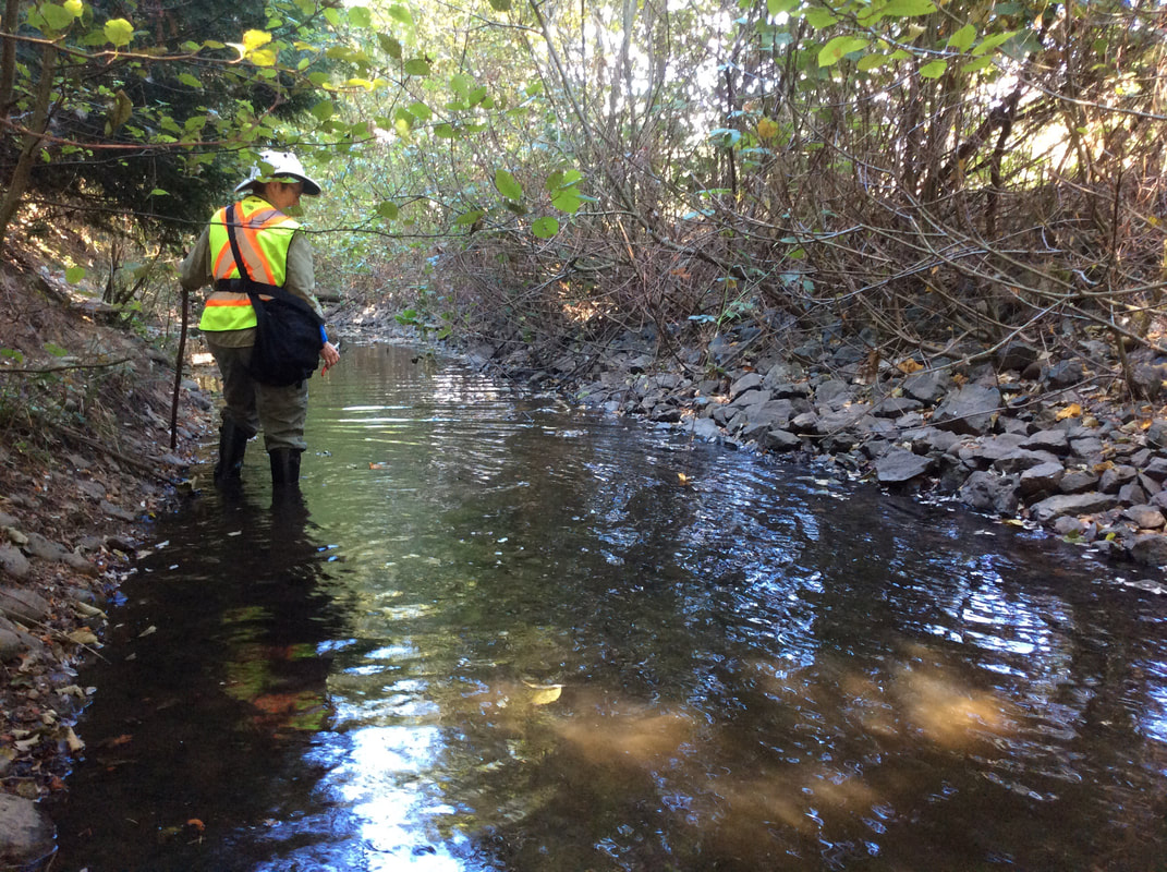
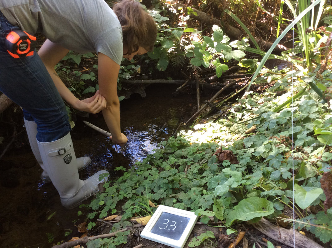
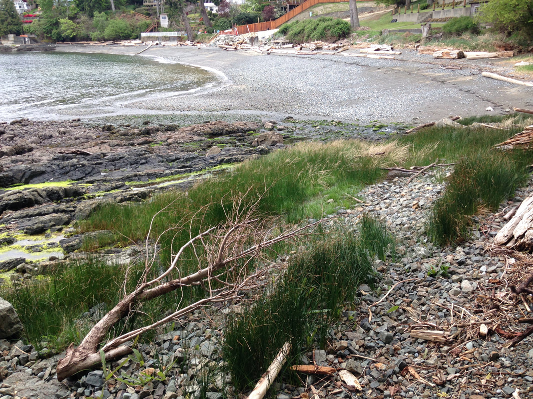
 Dave Clough, the City of Nanaimo, and the DWWP program (RDN) all encouraged us to do an in-depth survey of the creek to help establish restoration priorities. With support from the Pacific Salmon Foundation, we bought a hip chain to measure distance, made a pole to measure water depth, and set up an iPad with the Avenza app to hold the data we planned collect. Dave Clough met us at the beach where Walley Creek meets the ocean, and walked us through how to distinguish a pool from a riffle - the two habitat units measured using USHP methodology. Working our way up the creek, gaining confidence as we went, we collected a dozen data points for each habitat unit. In 2016 we measured Reach 1 - from the ocean to Morningside Drive, Reach 2 - from Morningside to Shores Drive, and Reach 3 - from Shores Drive to McGuffie Road. It was incredible to look at the creek and its inhabitants so closely. 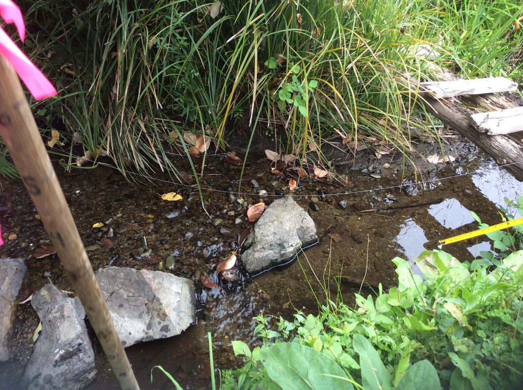 Reach 1 Habitat Unit 02, just up from the beach.
 Reach 3 - Walley Creek above Shores Drive is essentially one long pool. Here the creek flows through a clay liner that the RDN constructed during the 2002 upgrade to the Greater Nanaimo Pollution Control Centre. At the top, near McGuffie Road is a large wetland where we found evidence of a beaver.
In 2016 we collected data on 71 habitat units over 3 reaches! In addition, we started water quality monitoring through the RDN's Community Watershed Monitoring Program.
In May 2016, NALT offered a Streamkeepers workshop on Departure Creek. Nina was able to attend the two full days of training, and became an official Streamkeeper! As a group we decided it was time to visit Gail Adrienne, NALT's Executive Director, to thank her for connecting us, and to ask her advice about what to do next. She suggested working with Dave Clough to plan for riparian planting. This would help establish shade and prevent erosion of the banks of the creek.
Gail also had great information about the history of Walley Creek. She said it is one of the last creeks in Nanaimo that is open to daylight along its whole length, and that it is known for having year round flow. She knew that the Georgia Basin Ecological Assessment and Restoration Society (GBEARS) did a small project to restore a culvert along Walley Creek many years ago. She suggested we do as much research as possible into the history of the area so we would know what to realistically aim for in terms of restoration. She alluded to many (ahem) interesting diversions of the creek by people who live beside it, especially in the strata neighborhood at McGuffie and Hammond Bay Roads. Finally Gail suggested we officially become the Walley Creek Streamkeepers, as a committee under NALT. This solved our dilemma about how formal our group should be and how to apply for grants for the work we want to do. It's official - we are the Walley Creek Streamkepers! We have hardly begun, and already have a long list of questions about how to "improve" the creek. If we look at Walley Creek through the eyes of DFO, our goal should be to restore its salmon-bearing qualities. An obvious step in that direction would be to remove a large boulder that's acting as a fish barrier near the mouth of Walley Creek where it drains into the ocean. The rock is just a little too high for salmon to leap over, even with good fall flow. Describing this problem to people elicits really creative solutions. Get a crew of people together and roll it out to sea! Blast it out with dynamite! Put smaller rocks below it to create steps for the salmon to leap up! Tie a piece of rope around the rock and tie the other end to a truck and haul it out of there! Ah, not so fast says our biologist and consultant. If we remove the barrier, what are we allowing salmon access to? Coho salmon imprint on a certain area, but they are opportunistic. They will try going up a small creek to see if it offers good spawning habitat. If the habitat is poor, they'll swim back to sea and try somewhere else. If we allow them access to Walley Creek now, we're just wasting their time unless we actually improve the spawning habitat higher up. So for now the boulder is a low priority, while we consider our options for stream assessment. The satisfaction of removing it will have to wait. 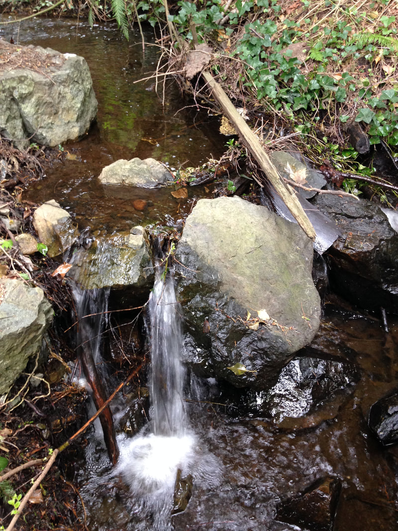 Our group was formed when each of us independently contacted the Nanaimo & Area Land Trust wondering if any work was being done to steward Walley Creek in North Nanaimo. One of our members lives right where Walley Creek reaches the ocean in Hammond Bay; for decades she has watched and tended the stream, concerned by garbage washing downstream and the lack of care for the riparian integrity. The Executive Director of NALT, Gail Adrienne put us in contact, and we started by asking our local Fisheries and Oceans Community Advisor to help us. Biologist Dave Clough spent time with us walking the upper watershed, near Springfield Place, and the lowest part of Walley Creek, where it empties into Hammond Bay near Morningside Drive. We came up with a long list of priorities for further research and restoration activities, including:
|
Categories
All
Archives
March 2024
|
 RSS Feed
